Tervel night lights from space
Night Light of Tervel (Dobrich) from space (Bulgaria) Src. Average luminocity for 10x10km area is 1.6394% and for 50x50km: 0.2841%.
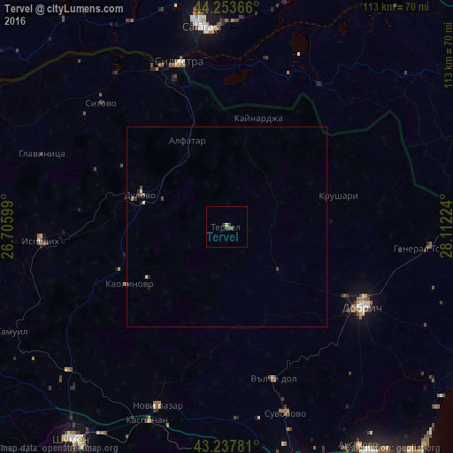
Analysis of Tervel night lights 2016
Square area 10x10 km:
 0%
0%90-99
0%80-89
0.61%70-79
0%60-69
0%50-59
0.15%40-49
1.06%30-39
0.91%20-29
0.91%10-19
0%0-9
96.36%Square area 50x50 km:
0.02%90-99
0.04%80-89
0.04%70-79
0%60-69
0%50-59
0.1%40-49
0.12%30-39
0.06%20-29
0.11%10-19
0.05%0-9
99.46%Clear (daylight) street map image can be seen on geolist.org.
Map coordinates:
44° 15' 13.2" North, 26° 42' 21.6" East
43° 44' 52.4" North, 27° 24' 32.8" East
43° 14' 16.1" North, 28° 6' 44.1" East
Some cities around Tervel sort by population:
• Dobrich
39.6 km =24.6 mi,  120°
120°
• Silistra
42.7 km =26.5 mi,  343°
343°
• Novi Pazar
47.3 km =29.4 mi,  200°
200°
• Isperih
46.4 km =28.8 mi,  265°
265°
• Modelu, RO
49.8 km =30.9 mi,  357°
357°
• Dulovo
22.2 km =13.8 mi,  290°
290°
• Ostrov, RO
41.1 km =25.5 mi, 355°
• Băneasa, RO
42.4 km =26.3 mi,  33°
33°
726474 (p: 6,808)
Sources (retrieved 2019-11-25):
» Earth at Night: Flat Maps 2012, 2016