Dulovo night lights from space
Night Light of Dulovo (Silistra) from space (Bulgaria) Src. Average luminocity for 10x10km area is 3.7485% and for 50x50km: 0.4149%.
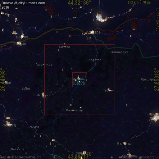
Analysis of Dulovo night lights 2016
Square area 10x10 km:
 0.45%
0.45%90-99
0.76%80-89
0%70-79
0%60-69
0%50-59
1.82%40-49
1.21%30-39
0.61%20-29
1.21%10-19
0.61%0-9
93.33%Square area 50x50 km:
0.02%90-99
0.04%80-89
0.04%70-79
0.01%60-69
0.01%50-59
0.14%40-49
0.17%30-39
0.12%20-29
0.14%10-19
0.2%0-9
99.11%Clear (daylight) street map image can be seen on geolist.org.
Map coordinates:
44° 19' 18.7" North, 26° 26' 48.8" East
43° 49' 0" North, 27° 9' 0" East
43° 18' 25.8" North, 27° 51' 11.3" East
Some cities around Dulovo sort by population:
• Silistra
34.6 km =21.5 mi,  14°
14°
• Isperih
27.8 km =17.3 mi,  246°
246°
• Modelu, RO
46.2 km =28.7 mi,  24°
24°
• Tervel
22.2 km =13.8 mi,  110°
110°
• Călăraşi, RO
45.1 km =28 mi, 16°
• Mânăstirea, RO
48.8 km =30.3 mi,  335°
335°
• Ostrov, RO
37.6 km =23.4 mi,  27°
27°
• Grădiştea, RO
46.6 km =29 mi, 6°
731818 (p: 6,788)
Sources (retrieved 2019-11-25):
» Earth at Night: Flat Maps 2012, 2016