Targovishte night lights from space
Night Light of Targovishte from space (Bulgaria) Src. Average luminocity for 10x10km area is 15.3742% and for 50x50km: 0.8833%.
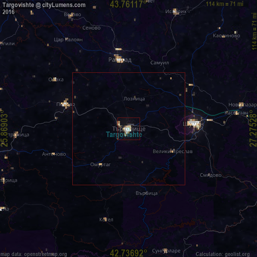
Analysis of Targovishte night lights 2016
Square area 10x10 km:
 1.97%
1.97%90-99
2.42%80-89
1.82%70-79
1.36%60-69
2.88%50-59
1.67%40-49
1.82%30-39
1.21%20-29
2.58%10-19
3.48%0-9
78.79%Square area 50x50 km:
0.08%90-99
0.1%80-89
0.09%70-79
0.11%60-69
0.16%50-59
0.07%40-49
0.13%30-39
0.13%20-29
0.23%10-19
0.29%0-9
98.62%Clear (daylight) street map image can be seen on geolist.org.
Map coordinates:
43° 45' 40.2" North, 25° 52' 8.5" East
43° 15' 4.3" North, 26° 34' 19.7" East
42° 44' 12.9" North, 27° 16' 31" East
Some cities around Targovishte sort by population:
• Shumen
28.5 km =17.7 mi,  85°
85°
• Razgrad
31.7 km =19.7 mi,  351°
351°
• Popovo
29.5 km =18.3 mi,  291°
291°
• Novi Pazar
52 km =32.3 mi,  77°
77°
• Veliki Preslav
21.9 km =13.6 mi,  115°
115°
• Omurtag
21 km =13 mi,  216°
216°
• Kotel
42.1 km =26.2 mi,  193°
193°
• Strazhitsa
49.1 km =30.5 mi,  267°
267°
726174 (p: 37,774)
Sources (retrieved 2019-11-25):
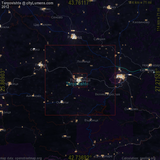
» Earth at Night: Flat Maps 2012, 2016