Simitli night lights from space
Night Light of Simitli (Blagoevgrad) from space (Bulgaria) Src. Average luminocity for 10x10km area is 4.8286% and for 50x50km: 1.8154%.
Analysis of Simitli night lights 2016
Square area 10x10 km:
 0%
0%90-99
0%80-89
0%70-79
0.63%60-69
2.22%50-59
0.32%40-49
2.86%30-39
1.27%20-29
0.95%10-19
0%0-9
91.75%Square area 50x50 km:
0.12%90-99
0.24%80-89
0.18%70-79
0.22%60-69
0.23%50-59
0.26%40-49
0.41%30-39
0.36%20-29
0.36%10-19
1.13%0-9
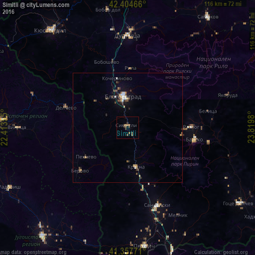
96.49%Clear (daylight) street map image can be seen on geolist.org.
Map coordinates:
42° 24' 16.8" North, 22° 24' 48.8" East
41° 52' 60" North, 23° 7' 0" East
41° 21' 27.8" North, 23° 49' 11.3" East
Some cities around Simitli sort by population:
• Blagoevgrad
14.9 km =9.3 mi,  354°
354°
• Dupnitsa
42.6 km =26.5 mi,  0°
0°
• Sandanski
37.8 km =23.5 mi,  158°
158°
• Delcevo, MK
30.2 km =18.8 mi,  287°
287°
• Berovo, MK
29.4 km =18.3 mi,  226°
226°
• Razlog
29 km =18 mi,  89°
89°
• Bansko
31.2 km =19.4 mi,  99°
99°
• Pehčevo, MK
23.2 km =14.4 mi, 234°
727212 (p: 6,729)
Sources (retrieved 2019-11-25):
» Earth at Night: Flat Maps 2012, 2016