Blagoevgrad night lights from space
Night Light of Blagoevgrad from space (Bulgaria) Src. Average luminocity for 10x10km area is 22.7571% and for 50x50km: 1.4845%.
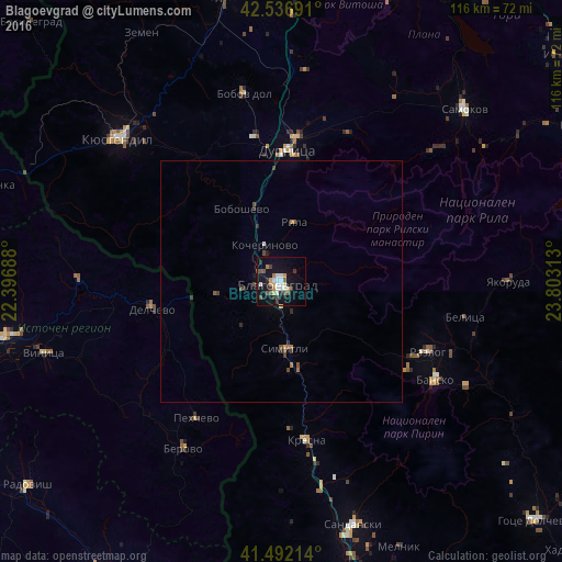
Analysis of Blagoevgrad night lights 2016
Square area 10x10 km:
 3.02%
3.02%90-99
4.6%80-89
2.38%70-79
1.75%60-69
2.22%50-59
3.17%40-49
3.81%30-39
2.86%20-29
2.86%10-19
24.6%0-9
48.73%Square area 50x50 km:
0.12%90-99
0.21%80-89
0.12%70-79
0.09%60-69
0.2%50-59
0.19%40-49
0.36%30-39
0.26%20-29
0.28%10-19
1.06%0-9
97.1%Clear (daylight) street map image can be seen on geolist.org.
Map coordinates:
42° 32' 12.9" North, 22° 23' 48.8" East
42° 1' 0" North, 23° 6' 0" East
41° 29' 31.7" North, 23° 48' 11.3" East
Some cities around Blagoevgrad sort by population:
• Dupnitsa
27.8 km =17.3 mi,  2°
2°
• Delcevo, MK
27.9 km =17.3 mi,  258°
258°
• Berovo, MK
40.2 km =25 mi,  209°
209°
• Razlog
33.6 km =20.9 mi,  115°
115°
• Bansko
37.8 km =23.5 mi, 121°
• Simitli
14.9 km =9.3 mi,  174°
174°
• Bobov Dol
39.3 km =24.4 mi,  348°
348°
• Pehčevo, MK
33.2 km =20.6 mi, 211°
733191 (p: 71,306)
Sources (retrieved 2019-11-25):
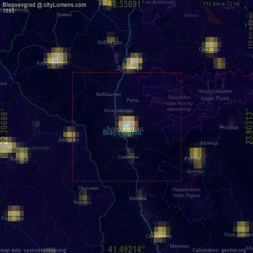
» NASA, Earths city lights 1995
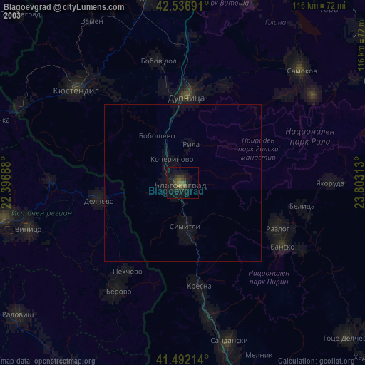
» NASA city lights 2003
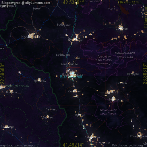
» Earth at Night: Flat Maps 2012, 2016