Gorna Oryahovitsa night lights from space
Night Light of Gorna Oryahovitsa (Veliko Tarnovo) from space (Bulgaria) Src. Average luminocity for 10x10km area is 27.7606% and for 50x50km: 4.5388%.
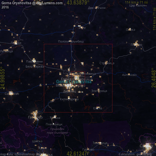
Analysis of Gorna Oryahovitsa night lights 2016
Square area 10x10 km:
 1.82%
1.82%90-99
3.79%80-89
2.12%70-79
5.3%60-69
5.76%50-59
4.09%40-49
3.18%30-39
2.58%20-29
8.03%10-19
35.61%0-9
27.73%Square area 50x50 km:
0.32%90-99
0.53%80-89
0.41%70-79
0.52%60-69
0.79%50-59
0.85%40-49
0.69%30-39
0.49%20-29
1.33%10-19
4.05%0-9
90.01%Clear (daylight) street map image can be seen on geolist.org.
Map coordinates:
43° 38' 19.6" North, 24° 59' 54.8" East
43° 7' 40" North, 25° 42' 6" East
42° 36' 44.9" North, 26° 24' 17.3" East
Some cities around Gorna Oryahovitsa sort by population:
• Veliko Tŭrnovo
7.8 km =4.8 mi,  228°
228°
• Tryavna
33.3 km =20.7 mi,  209°
209°
• Pavlikeni
33.3 km =20.7 mi,  292°
292°
• Lyaskovets
2.8 km =1.7 mi,  130°
130°
• Dryanovo
24.5 km =15.2 mi, 227°
• Elena
26.2 km =16.3 mi,  145°
145°
• Strazhitsa
24.5 km =15.2 mi,  61°
61°
• Polski Trambesh
27.7 km =17.2 mi,  348°
348°
731233 (p: 32,792)
Sources (retrieved 2019-11-25):
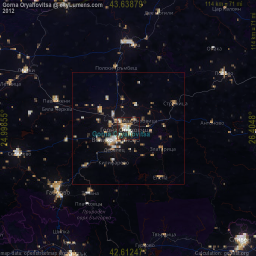
» Earth at Night: Flat Maps 2012, 2016