Sint-Niklaas night lights from space
Night Light of Sint-Niklaas (Flanders) from space (Belgium) Src. Average luminocity for 10x10km area is 57.238% and for 50x50km: 49.8102%.
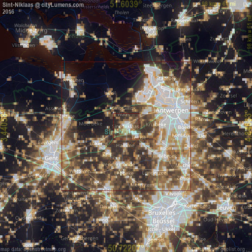
Analysis of Sint-Niklaas night lights 2016
Square area 10x10 km:
 8.96%
8.96%90-99
9.49%80-89
6.02%70-79
6.28%60-69
12.97%50-59
9.22%40-49
17.91%30-39
10.96%20-29
17.51%10-19
0.67%0-9
0%Square area 50x50 km:
10.44%90-99
10.53%80-89
4.86%70-79
6.02%60-69
7.72%50-59
7.42%40-49
9.59%30-39
8.73%20-29
11.15%10-19
8.41%0-9
15.13%Clear (daylight) street map image can be seen on geolist.org.
Map coordinates:
51° 36' 14" North, 3° 26' 26.1" East
51° 9' 54.3" North, 4° 8' 37.3" East
50° 43' 19.5" North, 4° 50' 48.6" East
Some cities around Sint-Niklaas sort by population:
• Beveren
9.4 km =5.8 mi,  56°
56°
• Lokeren
12.5 km =7.8 mi,  236°
236°
• Temse
6.4 km =4 mi,  130°
130°
• Hamme
7.4 km =4.6 mi,  183°
183°
• Bornem
10.3 km =6.4 mi,  137°
137°
• Stekene
9 km =5.6 mi,  303°
303°
• Kruibeke
11.9 km =7.4 mi,  87°
87°
• Waasmunster
7.7 km =4.8 mi,  211°
211°
2786578 (p: 69,010)
Sources (retrieved 2019-11-25):
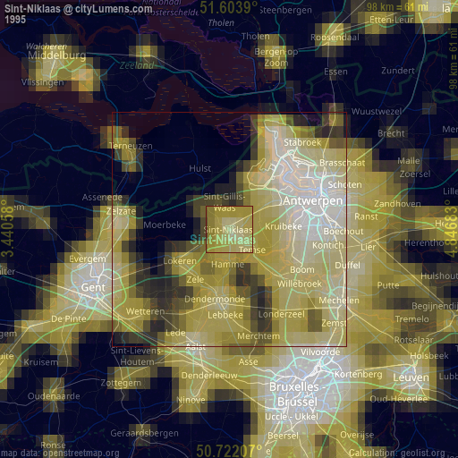
» NASA, Earths city lights 1995
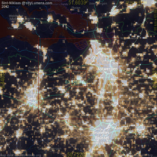
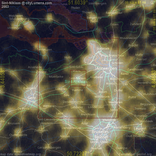
» NASA city lights 2003
» Earth at Night: Flat Maps 2012, 2016