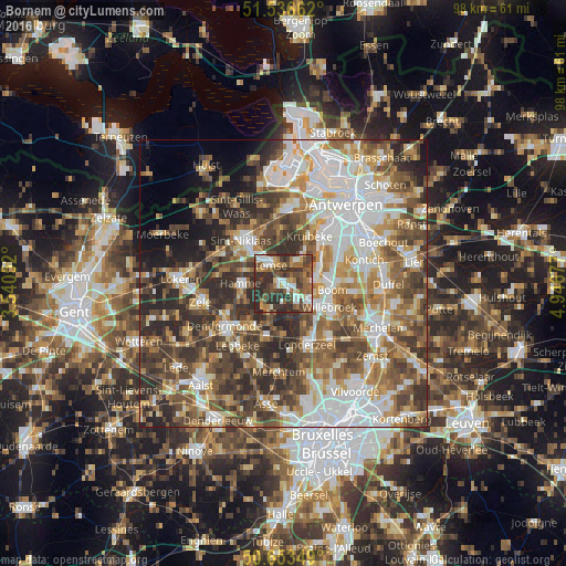
Bornem night lights from space
Night Light of Bornem (Flanders) from space (Belgium) Src. Average luminocity for 10x10km area is 55.4652% and for 50x50km: 57.4696%.
Analysis of Bornem night lights 2016
Square area 10x10 km:
100  7.75%
7.75%
90-99 10.03%
80-89 4.41%
70-79 4.68%
60-69 9.89%
50-59 13.64%
40-49 14.84%
30-39 18.18%
20-29 16.58%
10-19 0%
0-9 0%
7.75%90-99
10.03%80-89
4.41%70-79
4.68%60-69
9.89%50-59
13.64%40-49
14.84%30-39
18.18%20-29
16.58%10-19
0%0-9
0%Square area 50x50 km:
100 12.67%
90-99 11.88%
80-89 5.84%
70-79 7.1%
60-69 8.88%
50-59 9.8%
40-49 11.48%
30-39 9.96%
20-29 10.49%
10-19 4.6%
0-9 7.29%
12.67%90-99
11.88%80-89
5.84%70-79
7.1%60-69
8.88%50-59
9.8%40-49
11.48%30-39
9.96%20-29
10.49%10-19
4.6%0-9
7.29%Clear (daylight) street map image can be seen on geolist.org.
Map coordinates:
51° 32' 11.8" North, 3° 32' 25.9" East
51° 5' 49.8" North, 4° 14' 37.1" East
50° 39' 12.6" North, 4° 56' 48.4" East
Some cities around Bornem sort by population:
• Temse
4 km =2.5 mi,  328°
328°
• Hamme
7.4 km =4.6 mi,  270°
270°
• Puurs
4 km =2.5 mi,  129°
129°
• Boom
9 km =5.6 mi,  93°
93°
• Hemiksem
8.5 km =5.3 mi,  51°
51°
• Niel
6.5 km =4 mi,  76°
76°
• Schelle
7.5 km =4.7 mi,  64°
64°
• Sint-Amands
5.1 km =3.2 mi,  207°
207°
2801447 (p: 19,997)
Sources (retrieved 2019-11-25):
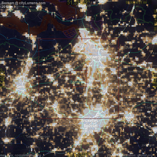
» Earth at Night: Flat Maps 2012, 2016