Niel night lights from space
Night Light of Niel (Flanders) from space (Belgium) Src. Average luminocity for 10x10km area is 75.1711% and for 50x50km: 57.4049%.
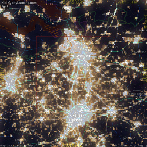
Analysis of Niel night lights 2016
Square area 10x10 km:
100  16.44%
90-99 19.92%
80-89 8.29%
70-79 15.24%
60-69 15.24%
50-59 9.89%
40-49 8.82%
30-39 4.68%
20-29 1.47%
10-19 0%
0-9 0%
16.44%90-99
19.92%80-89
8.29%70-79
15.24%60-69
15.24%50-59
9.89%40-49
8.82%30-39
4.68%20-29
1.47%10-19
0%0-9
0%Square area 50x50 km:
100 12.23%
90-99 11.63%
80-89 5.79%
70-79 7.31%
60-69 8.81%
50-59 10.03%
40-49 11.55%
30-39 10.29%
20-29 10.89%
10-19 6.76%
0-9 4.74%
12.23%90-99
11.63%80-89
5.79%70-79
7.31%60-69
8.81%50-59
10.03%40-49
11.55%30-39
10.29%20-29
10.89%10-19
6.76%0-9
4.74%Clear (daylight) street map image can be seen on geolist.org.
Map coordinates:
51° 33' 1" North, 3° 37' 52.2" East
51° 6' 39.5" North, 4° 20' 3.4" East
50° 40' 2.7" North, 5° 2' 14.7" East
Some cities around Niel sort by population:
• Willebroek
5.9 km =3.7 mi,  162°
162°
• Bornem
6.5 km =4 mi,  256°
256°
• Puurs
5.2 km =3.2 mi,  217°
217°
• Boom
3.3 km =2.1 mi,  128°
128°
• Kruibeke
6.8 km =4.2 mi,  348°
348°
• Aartselaar
4.5 km =2.8 mi,  54°
54°
• Hemiksem
3.8 km =2.4 mi,  4°
4°
• Schelle
1.8 km =1.1 mi,  15°
15°
2790225 (p: 8,656)
Sources (retrieved 2019-11-25):
» Earth at Night: Flat Maps 2012, 2016