Bosansko Grahovo night lights from space
Night Light of Bosansko Grahovo (Federation of B&H) from space (Bosnia and Herzegovina) Src. Average luminocity for 10x10km area is 0% and for 50x50km: 0.5231%.
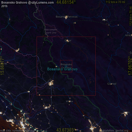
Analysis of Bosansko Grahovo night lights 2016
Square area 10x10 km:
 0%
0%90-99
0%80-89
0%70-79
0%60-69
0%50-59
0%40-49
0%30-39
0%20-29
0%10-19
0%0-9
100%Square area 50x50 km:
0.02%90-99
0.04%80-89
0.09%70-79
0.04%60-69
0.15%50-59
0.12%40-49
0.09%30-39
0.09%20-29
0.07%10-19
0.07%0-9
99.22%Clear (daylight) street map image can be seen on geolist.org.
Map coordinates:
44° 40' 53.5" North, 15° 39' 38.8" East
44° 10' 46" North, 16° 21' 50" East
43° 40' 22.9" North, 17° 4' 1.3" East
Some cities around Bosansko Grahovo sort by population:
• Šibenik, HR
62.2 km =38.6 mi,  217°
217°
• Mrkonjić Grad
63 km =39.1 mi,  65°
65°
• Livno
64.7 km =40.2 mi,  127°
127°
• Sinj, HR
57.3 km =35.6 mi,  157°
157°
• Knin, HR
20.4 km =12.7 mi, 220°
• Šipovo
58.7 km =36.5 mi,  78°
78°
• Ključ
51.2 km =31.8 mi,  39°
39°
• Sanica
53 km =32.9 mi,  24°
24°
3203644 (p: 5,643)
Sources (retrieved 2019-11-25):
» Earth at Night: Flat Maps 2012, 2016