Jebrail night lights from space
Night Light of Jebrail (Jabrayil) from space (Azerbaijan) Src. Average luminocity for 10x10km area is 0% and for 50x50km: 0.18%.
Analysis of Jebrail night lights 2016
Square area 10x10 km:
 0%
0%90-99
0%80-89
0%70-79
0%60-69
0%50-59
0%40-49
0%30-39
0%20-29
0%10-19
0%0-9
100%Square area 50x50 km:
0%90-99
0%80-89
0%70-79
0.01%60-69
0.01%50-59
0.03%40-49
0.08%30-39
0.06%20-29
0.2%10-19
0.03%0-9
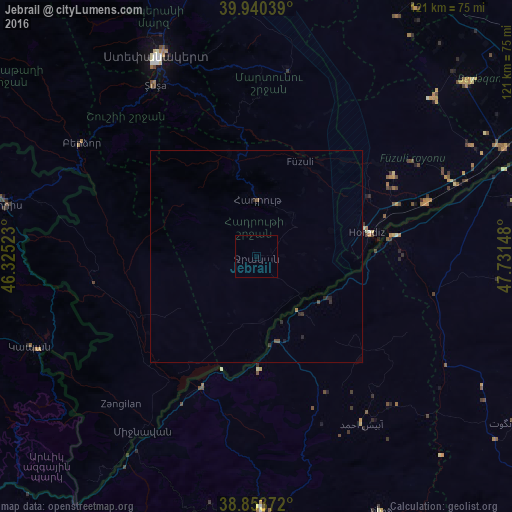
99.58%Clear (daylight) street map image can be seen on geolist.org.
Map coordinates:
39° 56' 25.4" North, 46° 19' 30.8" East
39° 23' 57" North, 47° 1' 42.1" East
38° 51' 13.4" North, 47° 43' 53.3" East
Some cities around Jebrail sort by population:
• Xankandi
52.2 km =32.4 mi,  333°
333°
• Fizuli
24.6 km =15.3 mi,  24°
24°
• Shushi
46.7 km =29 mi, 329°
• Zangilan
47.3 km =29.4 mi,  222°
222°
• Qubadlı
38.9 km =24.2 mi,  260°
260°
• Mincivan
48.7 km =30.3 mi,  212°
212°
• Novyy Karanlug
44.6 km =27.7 mi,  9°
9°
• Laçın
46.6 km =29 mi,  298°
298°
148141 (p: 8,396)
Sources (retrieved 2019-11-25):
» Earth at Night: Flat Maps 2012, 2016