Pirallahı night lights from space
Night Light of Pirallahı (Baki) from space (Azerbaijan) Src. Average luminocity for 10x10km area is 12.631% and for 50x50km: 11.3195%.
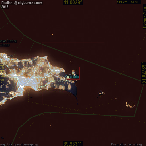
Analysis of Pirallahı night lights 2016
Square area 10x10 km:
 0%
0%90-99
0.51%80-89
1.53%70-79
1.87%60-69
4.25%50-59
1.53%40-49
1.19%30-39
2.21%20-29
1.7%10-19
12.93%0-9
72.28%Square area 50x50 km:
0.76%90-99
1.66%80-89
2.02%70-79
1.71%60-69
2.36%50-59
2.14%40-49
1.88%30-39
1.67%20-29
2.49%10-19
6.03%0-9
77.28%Clear (daylight) street map image can be seen on geolist.org.
Map coordinates:
41° 0' 10.4" North, 49° 37' 17.9" East
40° 28' 12.5" North, 50° 19' 29.1" East
39° 55' 59.2" North, 51° 1' 40.4" East
Some cities around Pirallahı sort by population:
• Hövsan
22.9 km =14.2 mi,  242°
242°
• Buzovna
18.6 km =11.6 mi,  286°
286°
• Biny Selo
20.2 km =12.6 mi,  263°
263°
• Yeni Suraxanı
24.8 km =15.4 mi, 259°
• Mardakan
15.6 km =9.7 mi,  278°
278°
• Zyrya
11.9 km =7.4 mi,  193°
193°
• Türkan
14.7 km =9.1 mi,  216°
216°
• Bilajer
26.3 km =16.3 mi, 293°
587207 (p: 13,435)
Sources (retrieved 2019-11-25):
» Earth at Night: Flat Maps 2012, 2016