Zyrya night lights from space
Night Light of Zyrya (Baki) from space (Azerbaijan) Src. Average luminocity for 10x10km area is 18.1071% and for 50x50km: 13.5273%.
Analysis of Zyrya night lights 2016
Square area 10x10 km:
 0%
0%90-99
0%80-89
1.7%70-79
2.21%60-69
4.25%50-59
5.44%40-49
2.21%30-39
4.59%20-29
3.4%10-19
28.06%0-9
48.13%Square area 50x50 km:
0.83%90-99
2.03%80-89
2.71%70-79
2.15%60-69
3.14%50-59
2.65%40-49
2.13%30-39
1.76%20-29
2.51%10-19
5.92%0-9
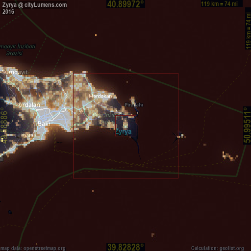
74.17%Clear (daylight) street map image can be seen on geolist.org.
Map coordinates:
40° 53' 59" North, 49° 35' 19.9" East
40° 21' 58.1" North, 50° 17' 31.1" East
39° 49' 41.8" North, 50° 59' 42.4" East
Some cities around Zyrya sort by population:
• Hövsan
17.5 km =10.9 mi,  273°
273°
• Amirdzhan
27 km =16.8 mi,  284°
284°
• Buzovna
22.7 km =14.1 mi,  318°
318°
• Biny Selo
19.8 km =12.3 mi,  298°
298°
• Yeni Suraxanı
22.8 km =14.2 mi,  288°
288°
• Mardakan
18.8 km =11.7 mi, 317°
• Pirallahı
11.9 km =7.4 mi,  13°
13°
• Türkan
6 km =3.7 mi, 268°
584562 (p: 10,099)
Sources (retrieved 2019-11-25):
» Earth at Night: Flat Maps 2012, 2016