Bilajer night lights from space
Night Light of Bilajer (Baki) from space (Azerbaijan) Src. Average luminocity for 10x10km area is 58.8669% and for 50x50km: 30.0747%.
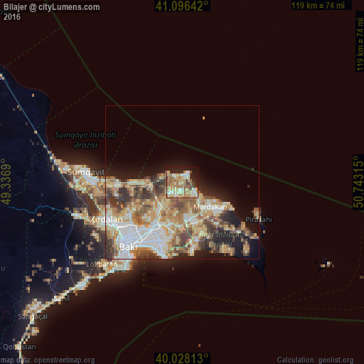
Analysis of Bilajer night lights 2016
Square area 10x10 km:
 4.87%
4.87%90-99
12.82%80-89
11.53%70-79
10.23%60-69
19.48%50-59
8.44%40-49
4.71%30-39
1.3%20-29
10.71%10-19
14.29%0-9
1.62%Square area 50x50 km:
5.44%90-99
5.67%80-89
4.84%70-79
4.54%60-69
5.64%50-59
4.47%40-49
3.78%30-39
4.37%20-29
3.76%10-19
8.04%0-9
49.44%Clear (daylight) street map image can be seen on geolist.org.
Map coordinates:
41° 5' 47.1" North, 49° 20' 12.8" East
40° 33' 51.9" North, 50° 2' 24.1" East
40° 1' 41.3" North, 50° 44' 35.3" East
Some cities around Bilajer sort by population:
• Maştağa
4.8 km =3 mi,  216°
216°
• Buzovna
8.1 km =5 mi,  128°
128°
• Biny Selo
13.2 km =8.2 mi,  162°
162°
• Zabrat
12.7 km =7.9 mi, 220°
• Yeni Suraxanı
14.9 km =9.3 mi,  181°
181°
• Mardakan
11.9 km =7.4 mi, 132°
• Ramana
14.5 km =9 mi,  200°
200°
• Nardaran
3.1 km =1.9 mi,  252°
252°
586971 (p: 8,983)
Sources (retrieved 2019-11-25):
» Earth at Night: Flat Maps 2012, 2016