Kerbakhiar night lights from space
Night Light of Kerbakhiar (Kalbajar) from space (Azerbaijan) Src. Average luminocity for 10x10km area is 0% and for 50x50km: 0.0669%.
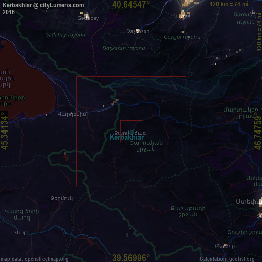
Analysis of Kerbakhiar night lights 2016
Square area 10x10 km:
 0%
0%90-99
0%80-89
0%70-79
0%60-69
0%50-59
0%40-49
0%30-39
0%20-29
0%10-19
0%0-9
100%Square area 50x50 km:
0%90-99
0%80-89
0%70-79
0%60-69
0%50-59
0.03%40-49
0.03%30-39
0.03%20-29
0.07%10-19
0.03%0-9
99.82%Clear (daylight) street map image can be seen on geolist.org.
Map coordinates:
40° 38' 43.7" North, 45° 20' 28.8" East
40° 6' 35.4" North, 46° 2' 40.1" East
39° 34' 11.9" North, 46° 44' 51.3" East
Some cities around Kerbakhiar sort by population:
• Yelenendorf
57.8 km =35.9 mi,  23°
23°
• Vardenis, AM
27.9 km =17.3 mi,  287°
287°
• Martuni, AM
62.9 km =39.1 mi,  272°
272°
• Yukhary-Dashkesan
46.2 km =28.7 mi,  3°
3°
• Kyadabek
54.9 km =34.1 mi,  338°
338°
• Vardenik, AM
51.2 km =31.8 mi, 272°
• Nerk’in Getashen, AM
65.9 km =40.9 mi, 273°
• Karanlukh, AM
64.2 km =39.9 mi, 269°
586268 (p: 8,400)
Sources (retrieved 2019-11-25):
» Earth at Night: Flat Maps 2012, 2016