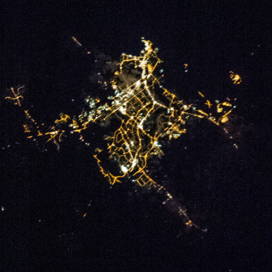
Townsville night lights from space
Night Light of Townsville (Queensland) from space (Australia) Src. Average luminocity for 10x10km area is 67.9784% and for 50x50km: 10.3831%.

Analysis of Townsville night lights 2016
Square area 10x10 km:
 22.08%
90-99
21.65%80-89
5.19%70-79
7.79%60-69
1.08%50-59
7.36%40-49
8.66%30-39
3.46%20-29
14.5%10-19
8.01%0-9
0.22%Square area 50x50 km:
1.92%90-99
2.09%80-89
1.57%70-79
1.65%60-69
0.44%50-59
1.05%40-49
1.3%30-39
1.01%20-29
3.4%10-19
5.45%0-9
80.11%Clear (daylight) street map image can be seen on geolist.org.
Map coordinates:
18° 36' 4.7" South, 146° 6' 9.3" East
19° 15' 59" South, 146° 48' 20.5" East
19° 55' 43.6" South, 147° 30' 31.8" East
Fantastic image of Townsville from space taken by astronauts [src2], but I don't have information about it's orientation, scale or angle. If necessary, it was rotated manually, so North points approximately to upper direction. Click to zoom in:
Some cities around Townsville sort by population:
• Kirwan
9.4 km =5.8 mi,  244°
244°
• Mount Louisa
5.8 km =3.6 mi,  261°
261°
• Douglas
8.5 km =5.3 mi,  221°
221°
• Annandale
5.6 km =3.5 mi,  196°
196°
• Cranbrook
7 km =4.3 mi,  231°
231°
• Condon
11.7 km =7.3 mi, 233°
• North Ward
2.1 km =1.3 mi,  27°
27°
• Burdell
11.4 km =7.1 mi,  278°
278°
2146142 (p: 196,219)
Sources (retrieved 2019-11-25):
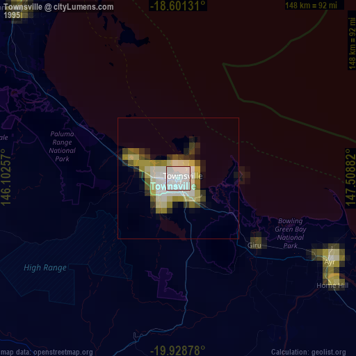
» NASA, Earths city lights 1995
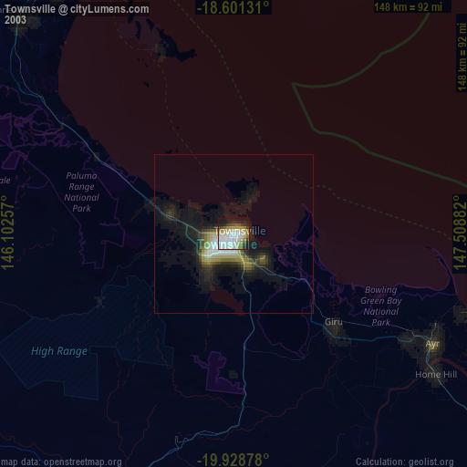
» NASA city lights 2003
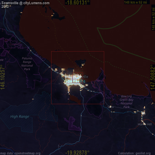
» Earth at Night: Flat Maps 2012, 2016
Src.2: NASA.gov ID: ISS036-E-13557, 2013-06-30