Kirwan night lights from space
Night Light of Kirwan (Queensland) from space (Australia) Src. Average luminocity for 10x10km area is 76.1494% and for 50x50km: 10.4145%.
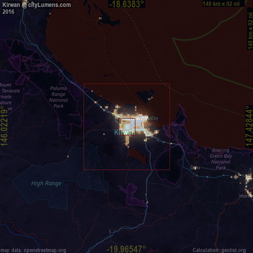
Analysis of Kirwan night lights 2016
Square area 10x10 km:
 22.08%
90-99
21.21%80-89
14.07%70-79
14.5%60-69
2.16%50-59
5.41%40-49
5.63%30-39
6.71%20-29
6.28%10-19
1.95%0-9
0%Square area 50x50 km:
1.92%90-99
2.09%80-89
1.57%70-79
1.65%60-69
0.44%50-59
1.09%40-49
1.3%30-39
1.02%20-29
3.43%10-19
5.45%0-9
80.04%Clear (daylight) street map image can be seen on geolist.org.
Map coordinates:
18° 38' 17.9" South, 146° 1' 19.9" East
19° 18' 11.6" South, 146° 43' 31.1" East
19° 57' 55.7" South, 147° 25' 42.4" East
Some cities around Kirwan sort by population:
• Townsville
9.4 km =5.8 mi,  64°
64°
• Kelso
9.6 km =6 mi,  183°
183°
• Mount Louisa
4.2 km =2.6 mi,  39°
39°
• Douglas
3.7 km =2.3 mi,  129°
129°
• Annandale
7 km =4.3 mi,  100°
100°
• Cranbrook
2.9 km =1.8 mi, 95°
• Condon
3.1 km =1.9 mi,  197°
197°
• Burdell
6.5 km =4 mi,  334°
334°
8349354 (p: 21,034)
Sources (retrieved 2019-11-25):
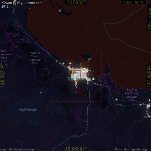
» Earth at Night: Flat Maps 2012, 2016