East Toowoomba night lights from space
Night Light of East Toowoomba (Queensland) from space (Australia) Src. Average luminocity for 10x10km area is 50.1429% and for 50x50km: 5.1023%.
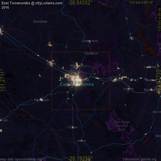
Analysis of East Toowoomba night lights 2016
Square area 10x10 km:
 7.54%
7.54%90-99
9.92%80-89
11.51%70-79
5.95%60-69
13.69%50-59
1.39%40-49
6.35%30-39
4.17%20-29
4.96%10-19
20.24%0-9
14.29%Square area 50x50 km:
0.44%90-99
0.57%80-89
0.57%70-79
0.43%60-69
1.69%50-59
0.24%40-49
0.92%30-39
1.05%20-29
1.25%10-19
3.88%0-9
88.97%Clear (daylight) street map image can be seen on geolist.org.
Map coordinates:
26° 56' 45" South, 151° 16' 16" East
27° 34' 15.1" South, 151° 58' 27.2" East
28° 11' 32.5" South, 152° 40' 38.5" East
Some cities around East Toowoomba sort by population:
• Toowoomba
2.3 km =1.4 mi,  299°
299°
• Newtown
4.4 km =2.7 mi,  291°
291°
• Kearneys Spring
5 km =3.1 mi,  220°
220°
• Harristown
4.3 km =2.7 mi,  251°
251°
• Rangeville
1.5 km =0.9 mi,  157°
157°
• Middle Ridge
4.1 km =2.5 mi,  190°
190°
• Centenary Heights
2.1 km =1.3 mi,  213°
213°
• South Toowoomba
2.7 km =1.7 mi,  269°
269°
10114321 (p: 5,965)
Sources (retrieved 2019-11-25):
» Earth at Night: Flat Maps 2012, 2016