Port Douglas night lights from space
Night Light of Port Douglas (Queensland) from space (Australia) Src. Average luminocity for 10x10km area is 6.0496% and for 50x50km: 0.4809%.
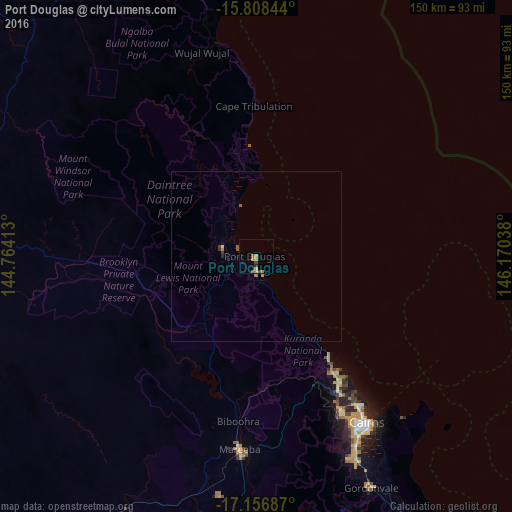
Analysis of Port Douglas night lights 2016
Square area 10x10 km:
 0%
0%90-99
0%80-89
0%70-79
2.69%60-69
2.27%50-59
0.83%40-49
0.62%30-39
1.03%20-29
1.65%10-19
0%0-9
90.91%Square area 50x50 km:
0%90-99
0%80-89
0.03%70-79
0.14%60-69
0.16%50-59
0.13%40-49
0.02%30-39
0.14%20-29
0.13%10-19
0.01%0-9
99.23%Clear (daylight) street map image can be seen on geolist.org.
Map coordinates:
15° 48' 30.4" South, 144° 45' 50.9" East
16° 29' 1.8" South, 145° 28' 2.1" East
17° 9' 24.7" South, 146° 10' 13.4" East
Some cities around Port Douglas sort by population:
• Mareeba
56.6 km =35.2 mi,  184°
184°
• Redlynch
54.8 km =34.1 mi,  153°
153°
• Cairns North
56 km =34.8 mi, 146°
• Manoora
56.1 km =34.9 mi, 149°
• Trinity Beach
41.8 km =26 mi,  144°
144°
• Kewarra Beach
40.5 km =25.2 mi, 145°
• Manunda
56.8 km =35.3 mi, 148°
• Brinsmead
53.2 km =33.1 mi, 150°
2152681 (p: 8,237)
Sources (retrieved 2019-11-25):
» Earth at Night: Flat Maps 2012, 2016