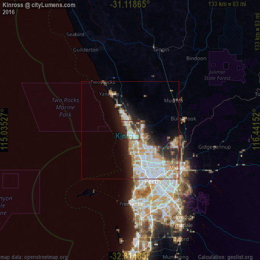
Kinross night lights from space
Night Light of Kinross (Western Australia) from space (Australia) Src. Average luminocity for 10x10km area is 56.8553% and for 50x50km: 21.3151%.
Analysis of Kinross night lights 2016
Square area 10x10 km:
 10.81%
90-99
12.45%80-89
5.68%70-79
6.04%60-69
11.36%50-59
8.61%40-49
9.16%30-39
8.79%20-29
15.2%10-19
11.17%0-9
0.73%Square area 50x50 km:
4.88%90-99
5.1%80-89
2.05%70-79
3.2%60-69
3.65%50-59
1.97%40-49
1.49%30-39
2.31%20-29
4.13%10-19
6.44%0-9
64.77%Clear (daylight) street map image can be seen on geolist.org.
Map coordinates:
31° 7' 7.1" South, 115° 2' 7" East
31° 43' 7.2" South, 115° 44' 18.2" East
32° 18' 53.5" South, 116° 26' 29.5" East
Some cities around Kinross sort by population:
• Clarkson
4.2 km =2.6 mi,  342°
342°
• Joondalup
4 km =2.5 mi,  135°
135°
• Ocean Reef
4.5 km =2.8 mi,  182°
182°
• Mindarie
4.4 km =2.7 mi,  317°
317°
• Carramar
4.5 km =2.8 mi,  44°
44°
• Currambine
1.8 km =1.1 mi,  151°
151°
• Heathridge
5.2 km =3.2 mi,  158°
158°
• Iluka
2 km =1.2 mi,  201°
201°
6697151 (p: 6,736)
Sources (retrieved 2019-11-25):
» Earth at Night: Flat Maps 2012, 2016