Kangaroo Flat night lights from space
Night Light of Kangaroo Flat (Victoria) from space (Australia) Src. Average luminocity for 10x10km area is 30.257% and for 50x50km: 2.9142%.
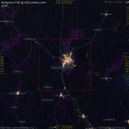
Analysis of Kangaroo Flat night lights 2016
Square area 10x10 km:
 4.37%
4.37%90-99
4.55%80-89
2.62%70-79
3.32%60-69
8.22%50-59
6.12%40-49
3.15%30-39
1.75%20-29
6.29%10-19
20.8%0-9
38.81%Square area 50x50 km:
0.23%90-99
0.21%80-89
0.23%70-79
0.5%60-69
0.61%50-59
0.54%40-49
0.63%30-39
0.31%20-29
0.84%10-19
2.45%0-9
93.45%Clear (daylight) street map image can be seen on geolist.org.
Map coordinates:
36° 14' 5.7" South, 143° 32' 48.8" East
36° 48' 0" South, 144° 15' 0" East
37° 21' 39.4" South, 144° 57' 11.3" East
Some cities around Kangaroo Flat sort by population:
• Bendigo
5.4 km =3.4 mi,  30°
30°
• Golden Square
3.1 km =1.9 mi,  4°
4°
• Castlemaine
29.8 km =18.5 mi,  185°
185°
• Bendigo city centre
5.5 km =3.4 mi, 28°
• Strathdale
7 km =4.3 mi,  56°
56°
• Kennington
5.7 km =3.5 mi, 55°
• Eaglehawk
9.3 km =5.8 mi, 0°
• Strathfieldsaye
9.4 km =5.8 mi,  94°
94°
2161903 (p: 10,088)
Sources (retrieved 2019-11-25):
» Earth at Night: Flat Maps 2012, 2016