Castlemaine night lights from space
Night Light of Castlemaine (Victoria) from space (Australia) Src. Average luminocity for 10x10km area is 5.6922% and for 50x50km: 0.5375%.
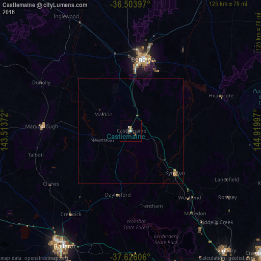
Analysis of Castlemaine night lights 2016
Square area 10x10 km:
 0.17%
0.17%90-99
1.19%80-89
0%70-79
1.7%60-69
0.68%50-59
0.34%40-49
0.68%30-39
2.04%20-29
1.7%10-19
1.02%0-9
90.48%Square area 50x50 km:
0.01%90-99
0.05%80-89
0%70-79
0.22%60-69
0.1%50-59
0.08%40-49
0.07%30-39
0.12%20-29
0.16%10-19
0.08%0-9
99.11%Clear (daylight) street map image can be seen on geolist.org.
Map coordinates:
36° 30' 14.3" South, 143° 30' 49.4" East
37° 4' 1.5" South, 144° 13' 0.6" East
37° 37' 33.8" South, 144° 55' 11.9" East
Some cities around Castlemaine sort by population:
• Bendigo
34.8 km =21.6 mi,  9°
9°
• Kangaroo Flat
29.8 km =18.5 mi, 5°
• Golden Square
32.9 km =20.4 mi, 5°
• Kyneton
28.7 km =17.8 mi,  133°
133°
• Bendigo city centre
34.9 km =21.7 mi, 9°
• Strathdale
34.6 km =21.5 mi, 14°
• Kennington
33.8 km =21 mi, 13°
• Strathfieldsaye
31.4 km =19.5 mi,  22°
22°
2172106 (p: 6,692)
Sources (retrieved 2019-11-25):
» Earth at Night: Flat Maps 2012, 2016