Hurstville night lights from space
Night Light of Hurstville (New South Wales) from space (Australia) Src. Average luminocity for 10x10km area is 82.7832% and for 50x50km: 45.406%.
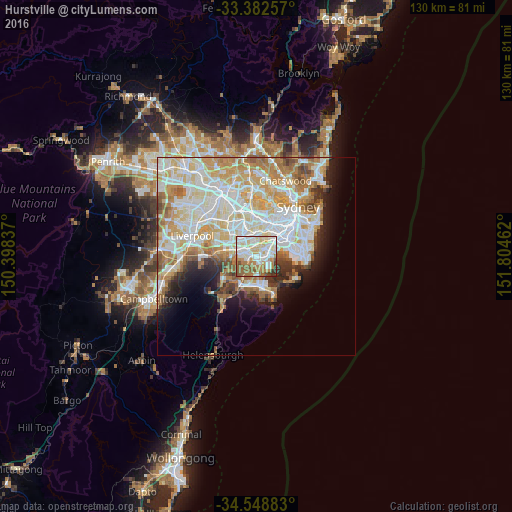
Analysis of Hurstville night lights 2016
Square area 10x10 km:
 20.28%
90-99
29.2%80-89
13.29%70-79
10.14%60-69
13.29%50-59
9.09%40-49
1.92%30-39
2.8%20-29
0%10-19
0%0-9
0%Square area 50x50 km:
11.79%90-99
12.93%80-89
6.4%70-79
7.04%60-69
6.83%50-59
3.7%40-49
2.19%30-39
2.63%20-29
3.51%10-19
6.05%0-9
36.94%Clear (daylight) street map image can be seen on geolist.org.
Map coordinates:
33° 22' 57.3" South, 150° 23' 54.1" East
33° 58' 3.7" South, 151° 6' 5.4" East
34° 32' 55.8" South, 151° 48' 16.6" East
Some cities around Hurstville sort by population:
• Bexley
2.4 km =1.5 mi,  35°
35°
• Penshurst
1.7 km =1.1 mi,  273°
273°
• Carlton
1.9 km =1.2 mi,  101°
101°
• Mortdale
2.7 km =1.7 mi, 266°
• Oatley
3 km =1.9 mi,  243°
243°
• Blakehurst
2.7 km =1.7 mi,  165°
165°
• Allawah
1.3 km =0.8 mi,  114°
114°
• South Hurstville
1.2 km =0.7 mi,  161°
161°
9972762 (p: 29,744)
Sources (retrieved 2019-11-25):
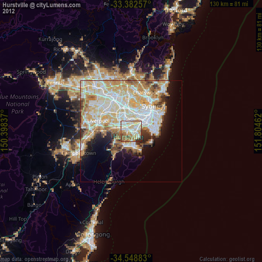
» Earth at Night: Flat Maps 2012, 2016