Howrah night lights from space
Night Light of Howrah (Tasmania) from space (Australia) Src. Average luminocity for 10x10km area is 20.8714% and for 50x50km: 4.3913%.
Analysis of Howrah night lights 2016
Square area 10x10 km:
 0.63%
0.63%90-99
2.22%80-89
4.29%70-79
2.38%60-69
4.44%50-59
2.38%40-49
2.06%30-39
2.7%20-29
10.16%10-19
16.98%0-9
51.75%Square area 50x50 km:
0.53%90-99
0.73%80-89
0.4%70-79
0.42%60-69
0.54%50-59
0.69%40-49
0.52%30-39
0.56%20-29
1.69%10-19
3.28%0-9
90.62%Clear (daylight) street map image can be seen on geolist.org.
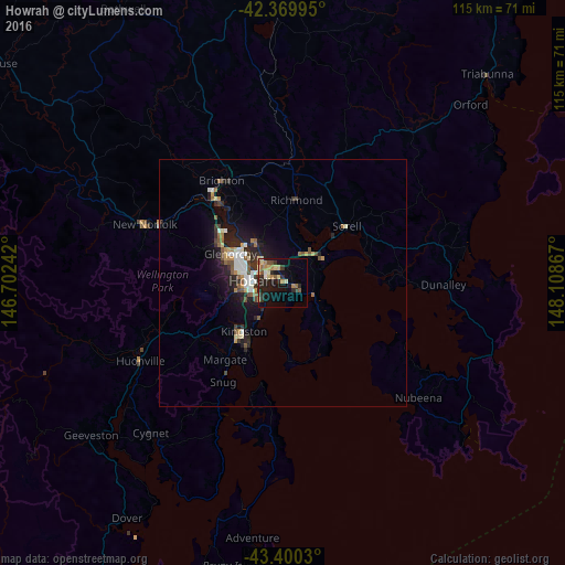
Map coordinates:
42° 22' 11.8" South, 146° 42' 8.7" East
42° 53' 14.2" South, 147° 24' 19.9" East
43° 24' 1.1" South, 148° 6' 31.2" East
Some cities around Howrah sort by population:
• Hobart
6.3 km =3.9 mi,  278°
278°
• Sandy Bay
6.7 km =4.2 mi,  263°
263°
• New Town
8.6 km =5.3 mi,  292°
292°
• Lindisfarne
5.6 km =3.5 mi,  320°
320°
• Lenah Valley
10.8 km =6.7 mi, 279°
• West Hobart
8.1 km =5 mi, 278°
• Moonah
9.6 km =6 mi,  298°
298°
• South Hobart
7.9 km =4.9 mi, 264°
6692248 (p: 8,317)
Sources (retrieved 2019-11-25):
» Earth at Night: Flat Maps 2012, 2016