Lenah Valley night lights from space
Night Light of Lenah Valley (Tasmania) from space (Australia) Src. Average luminocity for 10x10km area is 39.1746% and for 50x50km: 4.5542%.
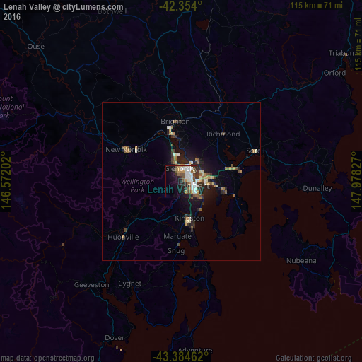
Analysis of Lenah Valley night lights 2016
Square area 10x10 km:
 10.32%
90-99
11.11%80-89
0.63%70-79
3.65%60-69
3.02%50-59
6.67%40-49
5.24%30-39
2.38%20-29
10.63%10-19
16.67%0-9
29.68%Square area 50x50 km:
0.53%90-99
0.75%80-89
0.4%70-79
0.47%60-69
0.58%50-59
0.74%40-49
0.61%30-39
0.58%20-29
1.69%10-19
3.31%0-9
90.34%Clear (daylight) street map image can be seen on geolist.org.
Map coordinates:
42° 21' 14.4" South, 146° 34' 19.3" East
42° 52' 17.3" South, 147° 16' 30.5" East
43° 23' 4.6" South, 147° 58' 41.8" East
Some cities around Lenah Valley sort by population:
• Hobart
4.5 km =2.8 mi,  101°
101°
• Sandy Bay
4.8 km =3 mi,  122°
122°
• Glenorchy
4.2 km =2.6 mi,  0°
0°
• New Town
3.1 km =1.9 mi,  60°
60°
• Lindisfarne
7.5 km =4.7 mi,  70°
70°
• West Hobart
2.6 km =1.6 mi, 102°
• Moonah
3.6 km =2.2 mi,  38°
38°
• South Hobart
3.8 km =2.4 mi,  132°
132°
8349136 (p: 5,880)
Sources (retrieved 2019-11-25):
» Earth at Night: Flat Maps 2012, 2016