Hobart night lights from space
Night Light of Hobart (Tasmania) from space (Australia) Src. Average luminocity for 10x10km area is 49.681% and for 50x50km: 4.555%.
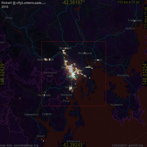

Analysis of Hobart night lights 2016
Square area 10x10 km:
 10%
10%90-99
13.02%80-89
3.49%70-79
4.76%60-69
5.24%50-59
8.41%40-49
6.98%30-39
5.24%20-29
18.1%10-19
21.59%0-9
3.17%Square area 50x50 km:
0.53%90-99
0.75%80-89
0.4%70-79
0.47%60-69
0.58%50-59
0.74%40-49
0.61%30-39
0.58%20-29
1.69%10-19
3.31%0-9
90.34%Clear (daylight) street map image can be seen on geolist.org.
Map coordinates:
42° 21' 43.1" South, 146° 37' 34.6" East
42° 52' 45.7" South, 147° 19' 45.9" East
43° 23' 32.8" South, 148° 1' 57.1" East
Some cities around Hobart sort by population:
• Sandy Bay
1.7 km =1.1 mi,  193°
193°
• Howrah
6.3 km =3.9 mi,  98°
98°
• New Town
3 km =1.9 mi,  325°
325°
• Lindisfarne
4.3 km =2.7 mi,  37°
37°
• Lenah Valley
4.5 km =2.8 mi,  281°
281°
• West Hobart
1.9 km =1.2 mi, 279°
• Moonah
4.3 km =2.7 mi, 329°
• South Hobart
2.4 km =1.5 mi,  224°
224°
2163355 (p: 216,656)
Sources (retrieved 2019-11-25):
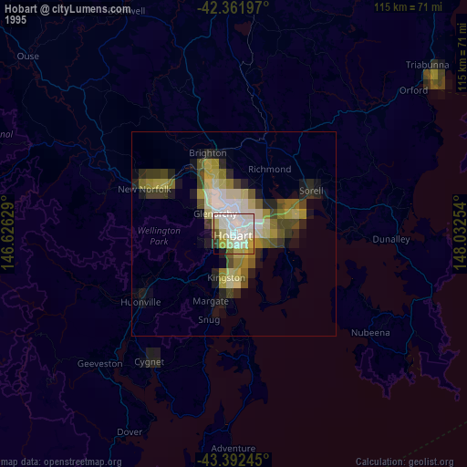
» NASA, Earths city lights 1995
» NASA city lights 2003
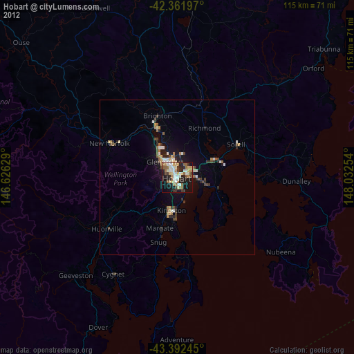
» Earth at Night: Flat Maps 2012, 2016