Glenmore Park night lights from space
Night Light of Glenmore Park (New South Wales) from space (Australia) Src. Average luminocity for 10x10km area is 44.8566% and for 50x50km: 24.1291%.
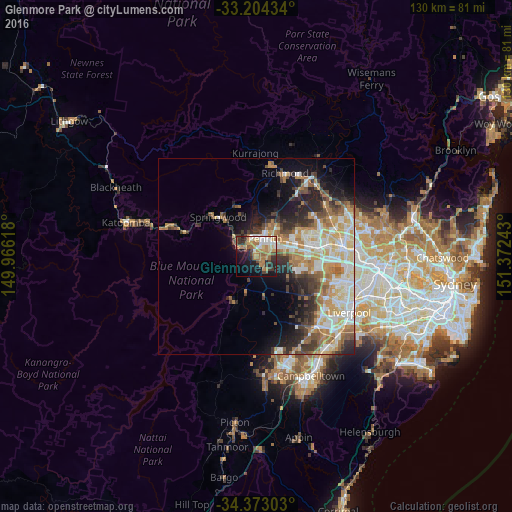
Analysis of Glenmore Park night lights 2016
Square area 10x10 km:
 6.12%
6.12%90-99
6.12%80-89
4.9%70-79
7.87%60-69
14.86%50-59
4.2%40-49
6.82%30-39
6.82%20-29
7.87%10-19
20.98%0-9
13.46%Square area 50x50 km:
4.32%90-99
5.06%80-89
3.06%70-79
3.67%60-69
4.47%50-59
2.57%40-49
2.71%30-39
3.88%20-29
4.62%10-19
7.08%0-9
58.58%Clear (daylight) street map image can be seen on geolist.org.
Map coordinates:
33° 12' 15.6" South, 149° 57' 58.2" East
33° 47' 26.4" South, 150° 40' 9.5" East
34° 22' 22.9" South, 151° 22' 20.7" East
Some cities around Glenmore Park sort by population:
• Penrith
5.3 km =3.3 mi,  32°
32°
• Kingswood Park
5 km =3.1 mi,  57°
57°
• South Penrith
3 km =1.9 mi,  50°
50°
• Emu Plains
4.5 km =2.8 mi,  356°
356°
• Blaxland
7.8 km =4.8 mi,  305°
305°
• Cambridge Park
6.8 km =4.2 mi, 45°
• Jamisontown
2.6 km =1.6 mi,  15°
15°
• Jordan Springs
9.5 km =5.9 mi,  35°
35°
7302642 (p: 22,863)
Sources (retrieved 2019-11-25):
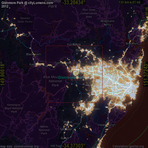
» Earth at Night: Flat Maps 2012, 2016