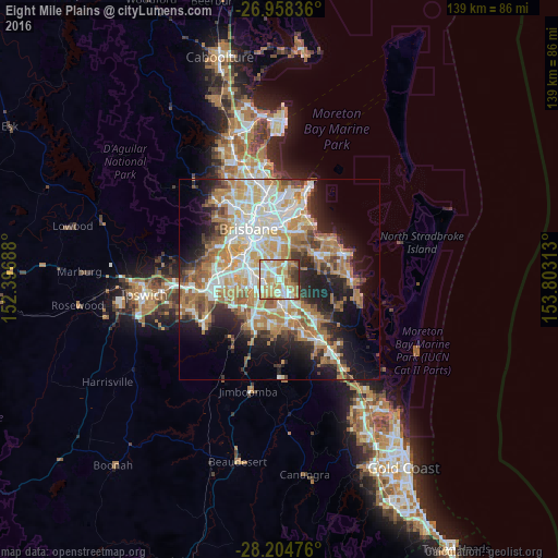
Eight Mile Plains night lights from space
Night Light of Eight Mile Plains (Queensland) from space (Australia) Src. Average luminocity for 10x10km area is 78.869% and for 50x50km: 42.9442%.
Analysis of Eight Mile Plains night lights 2016
Square area 10x10 km:
 15.08%
90-99
20.44%80-89
16.67%70-79
23.02%60-69
10.12%50-59
3.57%40-49
6.15%30-39
4.37%20-29
0.6%10-19
0%0-9
0%Square area 50x50 km:
8.25%90-99
9.06%80-89
5.23%70-79
6.05%60-69
11.49%50-59
3.69%40-49
4.09%30-39
4.37%20-29
7.17%10-19
12.18%0-9
28.41%Clear (daylight) street map image can be seen on geolist.org.
Map coordinates:
26° 57' 30.1" South, 152° 23' 48.8" East
27° 34' 60" South, 153° 6' 0" East
28° 12' 17.1" South, 153° 48' 11.3" East
Some cities around Eight Mile Plains sort by population:
• Rochedale South
2.7 km =1.7 mi,  119°
119°
• Runcorn
2.8 km =1.7 mi,  235°
235°
• Wishart
3.2 km =2 mi,  1°
1°
• Upper Mount Gravatt
2.9 km =1.8 mi,  328°
328°
• Sunnybank
3.9 km =2.4 mi,  275°
275°
• Kuraby
2.7 km =1.7 mi,  193°
193°
• Underwood
3 km =1.9 mi,  158°
158°
• Macgregor
3.9 km =2.4 mi,  301°
301°
2167651 (p: 15,364)
Sources (retrieved 2019-11-25):
» Earth at Night: Flat Maps 2012, 2016