Coburg night lights from space
Night Light of Coburg (Victoria) from space (Australia) Src. Average luminocity for 10x10km area is 93.4405% and for 50x50km: 53.9326%.
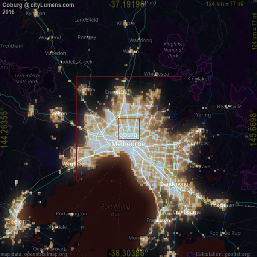
Analysis of Coburg night lights 2016
Square area 10x10 km:
 37.93%
90-99
29.93%80-89
24.15%70-79
7.99%60-69
0%50-59
0%40-49
0%30-39
0%20-29
0%10-19
0%0-9
0%Square area 50x50 km:
14.8%90-99
13.4%80-89
6.84%70-79
9.22%60-69
7.5%50-59
4.54%40-49
3.62%30-39
3.59%20-29
5.91%10-19
9.08%0-9
21.5%Clear (daylight) street map image can be seen on geolist.org.
Map coordinates:
37° 11' 31.1" South, 144° 15' 48.8" East
37° 45' 0" South, 144° 58' 0" East
38° 18' 13.9" South, 145° 40' 11.3" East
Some cities around Coburg sort by population:
• Brunswick
1.9 km =1.2 mi,  180°
180°
• Northcote
3.5 km =2.2 mi,  122°
122°
• Thornbury
3.6 km =2.2 mi,  104°
104°
• Pascoe Vale
3.5 km =2.2 mi,  302°
302°
• Fawkner
3.7 km =2.3 mi,  0°
0°
• Brunswick West
2.6 km =1.6 mi,  231°
231°
• Brunswick East
2.6 km =1.6 mi,  168°
168°
• Pascoe Vale South
2.1 km =1.3 mi, 302°
2171168 (p: 25,846)
Sources (retrieved 2019-11-25):
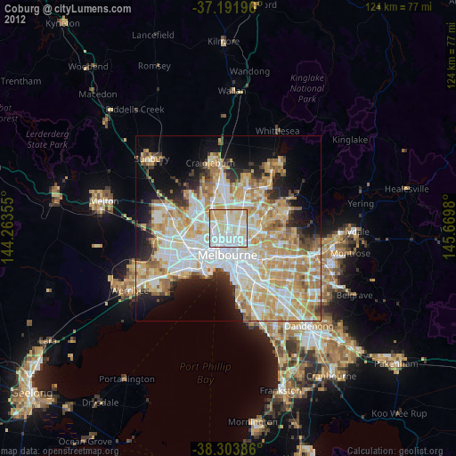
» Earth at Night: Flat Maps 2012, 2016