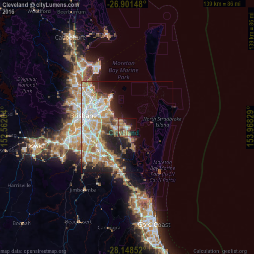
Cleveland night lights from space
Night Light of Cleveland (Queensland) from space (Australia) Src. Average luminocity for 10x10km area is 41.8671% and for 50x50km: 30.1095%.
Analysis of Cleveland night lights 2016
Square area 10x10 km:
 1.59%
1.59%90-99
4.37%80-89
2.98%70-79
6.35%60-69
23.21%50-59
5.95%40-49
6.15%30-39
7.54%20-29
5.56%10-19
22.62%0-9
13.69%Square area 50x50 km:
6.22%90-99
6.83%80-89
3.87%70-79
4.38%60-69
7.54%50-59
1.84%40-49
2.54%30-39
2.89%20-29
5.26%10-19
7.55%0-9
51.08%Clear (daylight) street map image can be seen on geolist.org.
Map coordinates:
26° 54' 5.3" South, 152° 33' 43.3" East
27° 31' 36.4" South, 153° 15' 54.6" East
28° 8' 54.7" South, 153° 58' 5.8" East
Some cities around Cleveland sort by population:
• Capalaba
6.4 km =4 mi,  253°
253°
• Alexandra Hills
3.6 km =2.2 mi,  260°
260°
• Victoria Point
7.8 km =4.8 mi,  143°
143°
• Redland Bay
10 km =6.2 mi,  159°
159°
• Thornlands
3.4 km =2.1 mi,  180°
180°
• Birkdale
6.8 km =4.2 mi,  315°
315°
• Wellington Point
5.1 km =3.2 mi,  342°
342°
• Ormiston
1.9 km =1.2 mi,  306°
306°
2171360 (p: 14,541)
Sources (retrieved 2019-11-25):
» Earth at Night: Flat Maps 2012, 2016