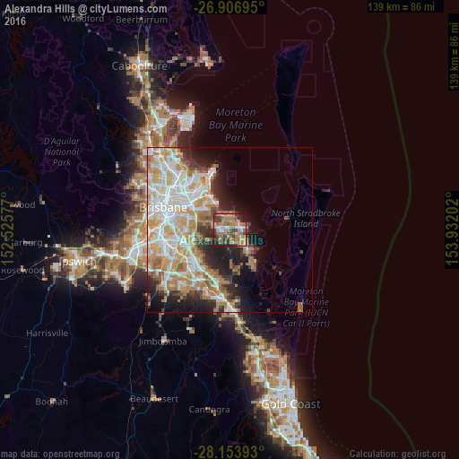
Alexandra Hills night lights from space
Night Light of Alexandra Hills (Queensland) from space (Australia) Src. Average luminocity for 10x10km area is 58.4405% and for 50x50km: 35.4815%.
Analysis of Alexandra Hills night lights 2016
Square area 10x10 km:
 3.17%
3.17%90-99
7.14%80-89
5.95%70-79
9.52%60-69
33.73%50-59
6.15%40-49
9.33%30-39
12.1%20-29
8.73%10-19
4.17%0-9
0%Square area 50x50 km:
7.37%90-99
8.17%80-89
5%70-79
5.54%60-69
8.36%50-59
2.22%40-49
2.68%30-39
3.03%20-29
5.68%10-19
8.24%0-9
43.72%Clear (daylight) street map image can be seen on geolist.org.
Map coordinates:
26° 54' 25" South, 152° 31' 32.8" East
27° 31' 56" South, 153° 13' 44" East
28° 9' 14.1" South, 153° 55' 55.3" East
Some cities around Alexandra Hills sort by population:
• Capalaba
2.8 km =1.7 mi,  244°
244°
• Cleveland
3.6 km =2.2 mi,  80°
80°
• Thornlands
4.5 km =2.8 mi,  128°
128°
• Birkdale
5.6 km =3.5 mi,  347°
347°
• Wellington Point
5.8 km =3.6 mi,  20°
20°
• Manly West
9 km =5.6 mi,  316°
316°
• Wakerley
9 km =5.6 mi,  307°
307°
• Ormiston
2.7 km =1.7 mi,  50°
50°
8348615 (p: 16,043)
Sources (retrieved 2019-11-25):
» Earth at Night: Flat Maps 2012, 2016