Wiener Neustadt night lights from space
Night Light of Wiener Neustadt (Lower Austria) from space (Austria) Src. Average luminocity for 10x10km area is 37.2098% and for 50x50km: 9.8958%.
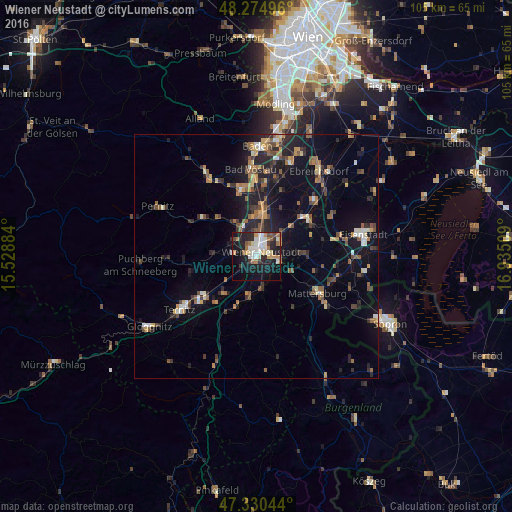
Analysis of Wiener Neustadt night lights 2016
Square area 10x10 km:
 6.4%
6.4%90-99
8.78%80-89
3.87%70-79
4.91%60-69
5.8%50-59
1.93%40-49
2.68%30-39
3.13%20-29
11.31%10-19
33.04%0-9
18.15%Square area 50x50 km:
0.7%90-99
1.08%80-89
0.8%70-79
1.48%60-69
1.49%50-59
1.56%40-49
1.5%30-39
1.59%20-29
3.14%10-19
7.95%0-9
78.7%Clear (daylight) street map image can be seen on geolist.org.
Map coordinates:
48° 16' 29.9" North, 15° 31' 43.8" East
47° 48' 17.5" North, 16° 13' 55.1" East
47° 19' 49.6" North, 16° 56' 6.3" East
Some cities around Wiener Neustadt sort by population:
• Neunkirchen
14.6 km =9.1 mi,  230°
230°
• Berndorf
18.1 km =11.2 mi,  329°
329°
• Bad Vöslau
17.9 km =11.1 mi,  355°
355°
• Kottingbrunn
16.2 km =10.1 mi, 358°
• Ternitz
17.7 km =11 mi,  235°
235°
• Mattersburg
14.9 km =9.3 mi,  122°
122°
• Ebreichsdorf
21.3 km =13.2 mi,  37°
37°
• Sollenau
10.5 km =6.5 mi,  6°
6°
2761353 (p: 44,820)
Sources (retrieved 2019-11-25):
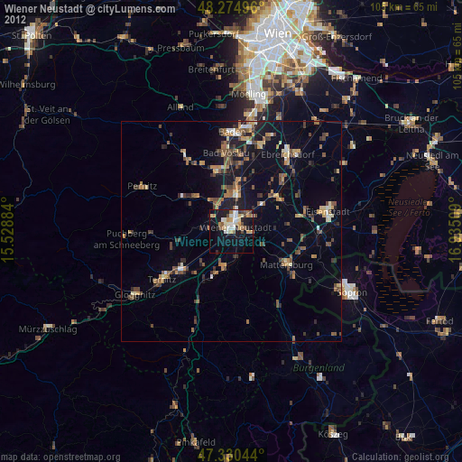
» Earth at Night: Flat Maps 2012, 2016