Innsbruck night lights from space
Night Light of Innsbruck (Tyrol) from space (Austria) Src. Average luminocity for 10x10km area is 41.7262% and for 50x50km: 4.6645%.
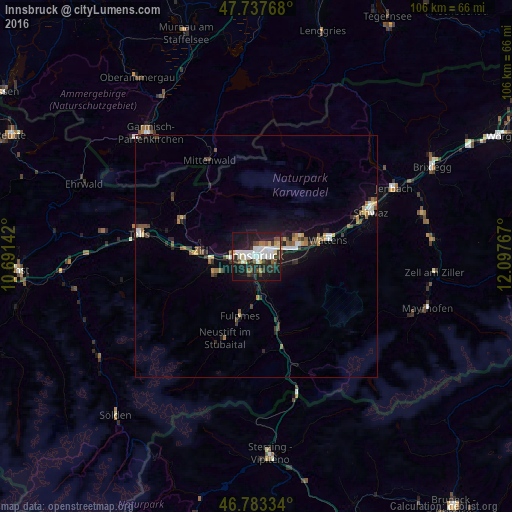
Analysis of Innsbruck night lights 2016
Square area 10x10 km:
 9.82%
9.82%90-99
10.57%80-89
3.42%70-79
2.38%60-69
1.64%50-59
3.72%40-49
5.51%30-39
6.25%20-29
16.67%10-19
34.82%0-9
5.21%Square area 50x50 km:
0.64%90-99
0.71%80-89
0.38%70-79
0.43%60-69
0.47%50-59
0.62%40-49
0.74%30-39
0.78%20-29
1.14%10-19
3.63%0-9
90.48%Clear (daylight) street map image can be seen on geolist.org.
Map coordinates:
47° 44' 15.6" North, 10° 41' 29.1" East
47° 15' 45.6" North, 11° 23' 40.3" East
46° 47' 0" North, 12° 5' 51.6" East
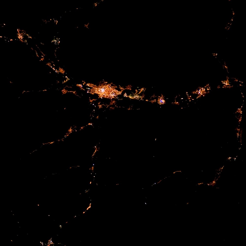
Fantastic image of Innsbruck from space taken by astronauts [src2], but I don't have information about it's orientation, scale or angle. If necessary, it was rotated manually, so North points approximately to upper direction. Click to zoom in:
Some cities around Innsbruck sort by population:
• Hötting
2 km =1.2 mi,  287°
287°
• Pradl
1.6 km =1 mi,  78°
78°
• Wilten
0.7 km =0.4 mi,  225°
225°
• Arzl
3.7 km =2.3 mi,  51°
51°
• Rum
4.8 km =3 mi,  61°
61°
• Völs
4.8 km =3 mi,  253°
253°
• Amras
2.2 km =1.4 mi,  130°
130°
• Mühlau
2.3 km =1.4 mi,  10°
10°
2775220 (p: 132,493)
Sources (retrieved 2019-11-25):
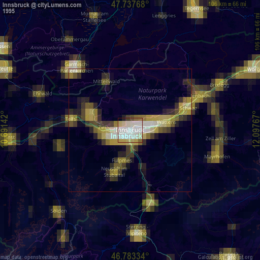
» NASA, Earths city lights 1995
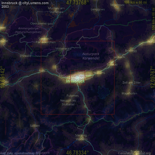
» NASA city lights 2003
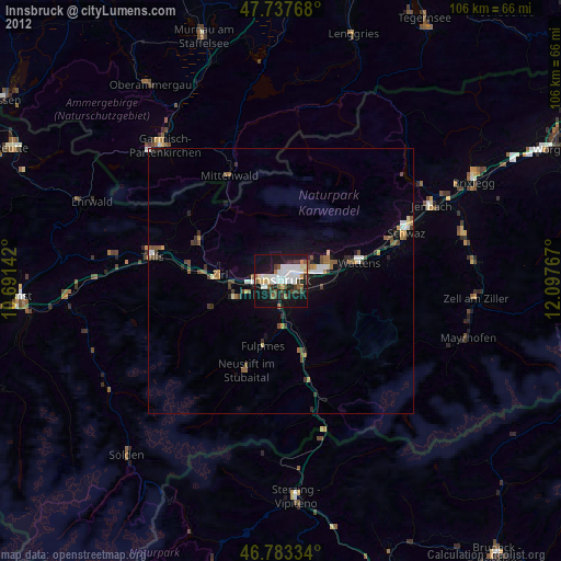
» Earth at Night: Flat Maps 2012, 2016
Src.2: by NASA Photo ID ISS030-E-188222, 2012-03-28