Tāfuna night lights from space
Night Light of Tāfuna (Western District) from space (American Samoa) Src. Average luminocity for 10x10km area is 0% and for 50x50km: 0%.
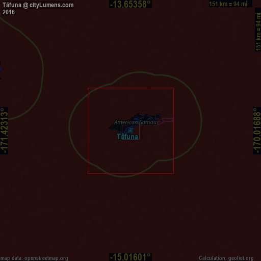
Analysis of Tāfuna night lights 2016
Square area 10x10 km:
 0%
0%90-99
0%80-89
0%70-79
0%60-69
0%50-59
0%40-49
0%30-39
0%20-29
0%10-19
0%0-9
100%Square area 50x50 km:
0%90-99
0%80-89
0%70-79
0%60-69
0%50-59
0%40-49
0%30-39
0%20-29
0%10-19
0%0-9
100%Clear (daylight) street map image can be seen on geolist.org.
Map coordinates:
13° 39' 12.9" South, 171° 25' 23.3" West
14° 20' 9" South, 170° 43' 12" West
15° 0' 57.6" South, 170° 1' 0.8" West
Some cities around Tāfuna sort by population:
• Apia, WS
125.9 km =78.2 mi,  296°
296°
• Pago Pago
6.7 km =4.2 mi,  16°
16°
• Mulifanua, WS
152.6 km =94.8 mi,  291°
291°
• Afega, WS
136.1 km =84.6 mi, 296°
• Leulumoega, WS
145.5 km =90.4 mi, 293°
• Lufilufi, WS
107.7 km =66.9 mi, 298°
• Ta`ū
130.4 km =81 mi,  84°
84°
• Samamea, WS
98.2 km =61 mi, 297°
5881192 (p: 11,017)
Sources (retrieved 2019-11-25):
» Earth at Night: Flat Maps 2012, 2016