Apia night lights from space
Night Light of Apia (Tuamasaga) from space (Samoa) Src. Average luminocity for 10x10km area is 0% and for 50x50km: 0%.
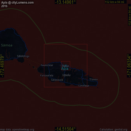
Analysis of Apia night lights 2016
Square area 10x10 km:
 0%
0%90-99
0%80-89
0%70-79
0%60-69
0%50-59
0%40-49
0%30-39
0%20-29
0%10-19
0%0-9
100%Square area 50x50 km:
0%90-99
0%80-89
0%70-79
0%60-69
0%50-59
0%40-49
0%30-39
0%20-29
0%10-19
0%0-9
100%Clear (daylight) street map image can be seen on geolist.org.
Map coordinates:
13° 8' 58.6" South, 172° 28' 11.2" West
13° 49' 60" South, 171° 45' 60" West
14° 30' 54.1" South, 171° 3' 48.7" West
Some cities around Apia sort by population:
• Mulifanua
29.1 km =18.1 mi,  270°
270°
• Afega
10.2 km =6.3 mi,  293°
293°
• Leulumoega
21 km =13 mi, 273°
• Lufilufi
18.7 km =11.6 mi,  104°
104°
• Vailoa
59 km =36.7 mi,  278°
278°
• Samamea
27.8 km =17.3 mi,  113°
113°
• Satupa‘itea
61 km =37.9 mi, 277°
• Safotulafai
47.9 km =29.8 mi, 292°
4035413 (p: 40,407)
Sources (retrieved 2019-11-25):
» Earth at Night: Flat Maps 2012, 2016