Samamea night lights from space
Night Light of Samamea (Va‘a-o-Fonoti) from space (Samoa) Src. Average luminocity for 10x10km area is 0% and for 50x50km: 0%.
Analysis of Samamea night lights 2016
Square area 10x10 km:
 0%
0%90-99
0%80-89
0%70-79
0%60-69
0%50-59
0%40-49
0%30-39
0%20-29
0%10-19
0%0-9
100%Square area 50x50 km:
0%90-99
0%80-89
0%70-79
0%60-69
0%50-59
0%40-49
0%30-39
0%20-29
0%10-19
0%0-9
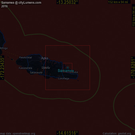
100%Clear (daylight) street map image can be seen on geolist.org.
Map coordinates:
13° 15' 1.2" South, 172° 14' 3.7" West
13° 56' 1.5" South, 171° 31' 52.4" West
14° 36' 54.6" South, 170° 49' 41.2" West
Some cities around Samamea sort by population:
• Apia
27.8 km =17.3 mi,  293°
293°
• Mulifanua
55.7 km =34.6 mi,  281°
281°
• Afega
37.9 km =23.5 mi, 293°
• Leulumoega
48 km =29.8 mi, 284°
• Lufilufi
9.8 km =6.1 mi,  312°
312°
• Vailoa
86.1 km =53.5 mi, 283°
• Satupa‘itea
87.9 km =54.6 mi, 282°
• Safotulafai
75.7 km =47 mi, 292°
4035078 (p: 89)
Sources (retrieved 2019-11-25):
» Earth at Night: Flat Maps 2012, 2016