Kavajë night lights from space
Night Light of Kavajë (Tirana) from space (Albania) Src. Average luminocity for 10x10km area is 20.2516% and for 50x50km: 9.7243%.
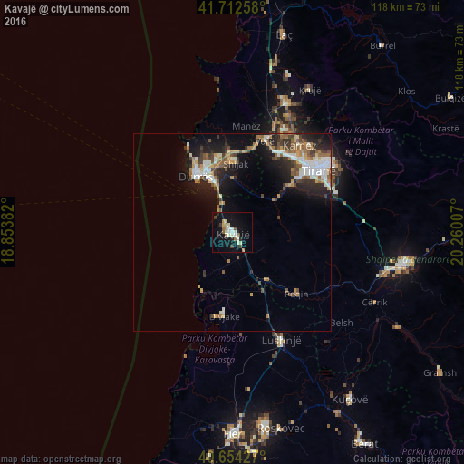
Analysis of Kavajë night lights 2016
Square area 10x10 km:
 2.44%
2.44%90-99
5.19%80-89
1.95%70-79
0.97%60-69
3.73%50-59
1.3%40-49
1.46%30-39
1.95%20-29
2.27%10-19
20.94%0-9
57.79%Square area 50x50 km:
1.36%90-99
1.88%80-89
0.68%70-79
1.07%60-69
1.39%50-59
1.62%40-49
1.32%30-39
1.45%20-29
2.71%10-19
6.63%0-9
79.89%Clear (daylight) street map image can be seen on geolist.org.
Map coordinates:
41° 42' 45.3" North, 18° 51' 13.8" East
41° 11' 8" North, 19° 33' 25" East
40° 39' 15.4" North, 20° 15' 36.3" East
Some cities around Kavajë sort by population:
• Tirana
27 km =16.8 mi,  54°
54°
• Durrës
17.6 km =10.9 mi,  330°
330°
• Lushnjë
29.8 km =18.5 mi,  155°
155°
• Shijak
17.8 km =11.1 mi,  2°
2°
• Kamëz
27.6 km =17.1 mi,  37°
37°
• Fushë-Krujë
35.2 km =21.9 mi,  22°
22°
• Peqin
22.5 km =14 mi,  133°
133°
• Rrogozhinë
15.2 km =9.4 mi,  143°
143°
3185211 (p: 29,354)
Sources (retrieved 2019-11-25):
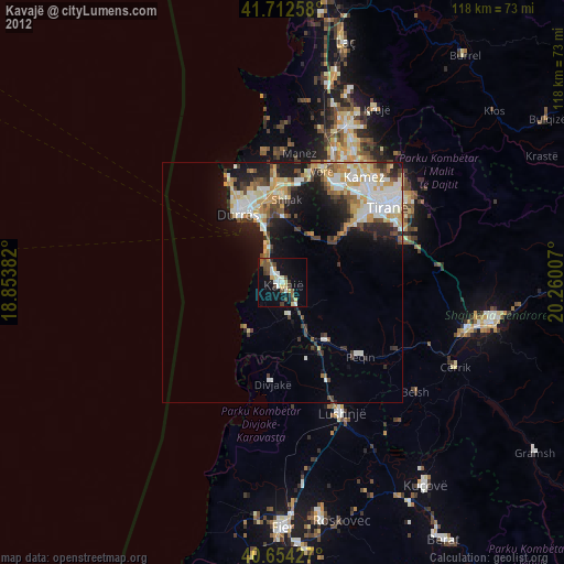
» Earth at Night: Flat Maps 2012, 2016