Qarāwul night lights from space
Night Light of Qarāwul (Kunduz) from space (Afghanistan) Src. Average luminocity for 10x10km area is 0% and for 50x50km: 0.1692%.
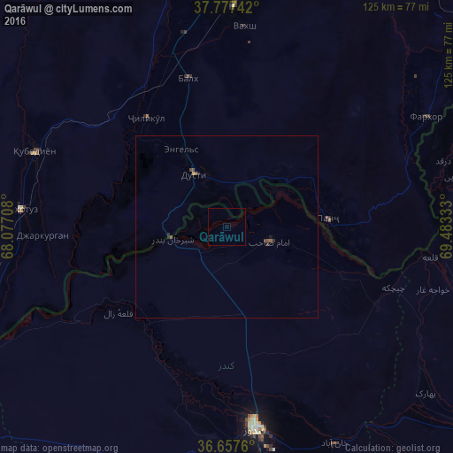
Analysis of Qarāwul night lights 2016
Square area 10x10 km:
 0%
0%90-99
0%80-89
0%70-79
0%60-69
0%50-59
0%40-49
0%30-39
0%20-29
0%10-19
0%0-9
100%Square area 50x50 km:
0%90-99
0%80-89
0.01%70-79
0.02%60-69
0%50-59
0.12%40-49
0.04%30-39
0.05%20-29
0.09%10-19
0.05%0-9
99.62%Clear (daylight) street map image can be seen on geolist.org.
Map coordinates:
37° 46' 38.7" North, 68° 4' 37.5" East
37° 13' 10.5" North, 68° 46' 48.7" East
36° 39' 27.4" North, 69° 28' 60" East
Some cities around Qarāwul sort by population:
• Moskovskiy, TJ
46.8 km =29.1 mi,  337°
337°
• Kolkhozobod, TJ
42.4 km =26.3 mi,  345°
345°
• Imām Şāḩib
14.2 km =8.8 mi,  103°
103°
• Dŭstí, TJ
17.6 km =10.9 mi,  324°
324°
• Dasht-e Archī
35.6 km =22.1 mi,  105°
105°
• Panj, TJ
28.3 km =17.6 mi,  86°
86°
• Orzu, TJ
37.8 km =23.5 mi,  5°
5°
• Jilikŭl, TJ
37.4 km =23.2 mi, 323°
1129648 (p: 24,544)
Sources (retrieved 2019-11-25):
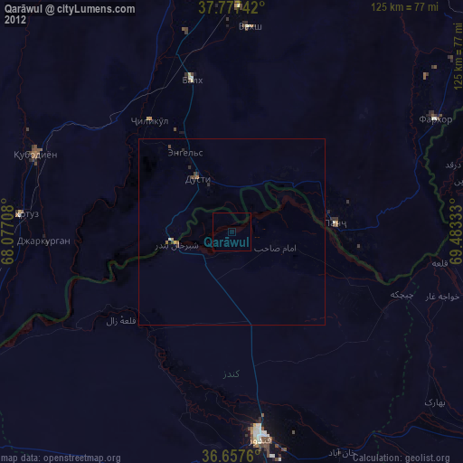
» Earth at Night: Flat Maps 2012, 2016