Kahului night lights from space
Night Light of Kahului (Hawaii) from space (United States) Src. Average luminocity for 10x10km area is 41.1786% and for 50x50km: 4.91%.
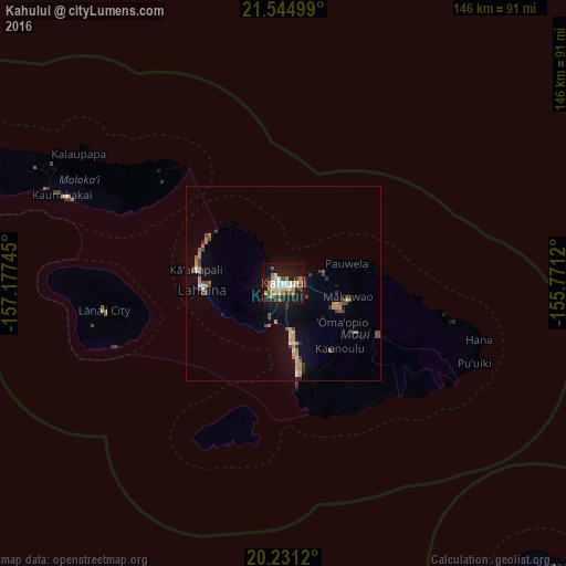
Analysis of Kahului night lights 2016
Square area 10x10 km:
 6.94%
6.94%90-99
9.92%80-89
2.18%70-79
7.34%60-69
5.95%50-59
4.56%40-49
4.37%30-39
3.97%20-29
7.54%10-19
39.68%0-9
7.54%Square area 50x50 km:
0.44%90-99
0.6%80-89
0.36%70-79
0.96%60-69
0.71%50-59
0.62%40-49
0.93%30-39
0.58%20-29
0.6%10-19
3.38%0-9
90.82%Clear (daylight) street map image can be seen on geolist.org.
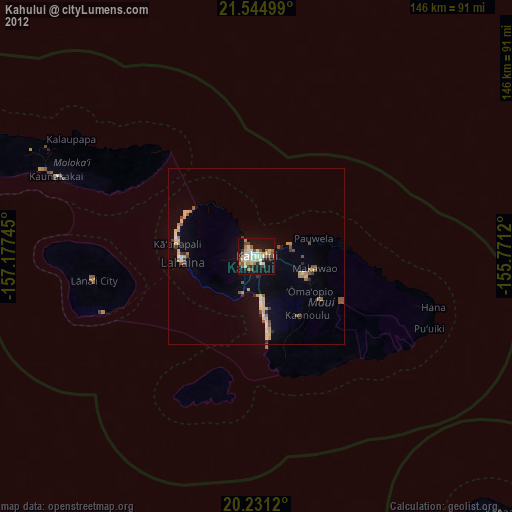
Map coordinates:
21° 32' 42" North, 157° 10' 38.8" West
20° 53' 22.3" North, 156° 28' 27.6" West
20° 13' 52.3" North, 155° 46' 16.3" West
Some cities around Kahului sort by population:
• Kīhei
14.2 km =8.8 mi,  167°
167°
• Wailuku
3.3 km =2.1 mi,  273°
273°
• Lahaina
21.1 km =13.1 mi, 265°
• Waihee-Waiehu
5.5 km =3.4 mi,  325°
325°
• Haiku-Pauwela
17.9 km =11.1 mi,  78°
78°
• Pukalani
15.5 km =9.6 mi,  112°
112°
• Makawao
17.1 km =10.6 mi,  102°
102°
• Kula
18.8 km =11.7 mi,  125°
125°
5847411 (p: 26,337)
Sources (retrieved 2019-11-25):
» Earth at Night: Flat Maps 2012, 2016