Rumson night lights from space
Night Light of Rumson (New Jersey) from space (United States) Src. Average luminocity for 10x10km area is 45.932% and for 50x50km: 33.5484%.
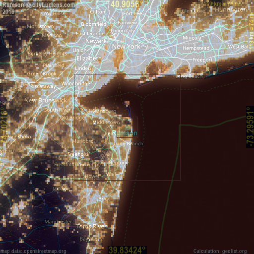
Analysis of Rumson night lights 2016
Square area 10x10 km:
 1.19%
1.19%90-99
3.4%80-89
4.59%70-79
11.22%60-69
11.73%50-59
16.33%40-49
11.39%30-39
10.2%20-29
6.46%10-19
15.31%0-9
8.16%Square area 50x50 km:
5.94%90-99
5.8%80-89
3.65%70-79
4.42%60-69
6.68%50-59
8.15%40-49
4.59%30-39
5.17%20-29
6.95%10-19
6.63%0-9
42.02%Clear (daylight) street map image can be seen on geolist.org.
Map coordinates:
40° 54' 20.2" North, 74° 42' 7.8" West
40° 22' 19.4" North, 73° 59' 56.5" West
39° 50' 3.3" North, 73° 17' 45.3" West
Some cities around Rumson sort by population:
• Long Branch
7.6 km =4.7 mi,  175°
175°
• Eatontown
9.5 km =5.9 mi,  207°
207°
• Red Bank
6.2 km =3.9 mi,  243°
243°
• West Long Branch
9.2 km =5.7 mi,  189°
189°
• Lincroft
11.3 km =7 mi,  245°
245°
• Fair Haven
3.6 km =2.2 mi, 249°
• Little Silver
5.7 km =3.5 mi,  226°
226°
• Oceanport
6.1 km =3.8 mi, 192°
5103564 (p: 6,926)
Sources (retrieved 2019-11-25):
» Earth at Night: Flat Maps 2012, 2016