Long Branch night lights from space
Night Light of Long Branch (New Jersey) from space (United States) Src. Average luminocity for 10x10km area is 56.7398% and for 50x50km: 29.763%.
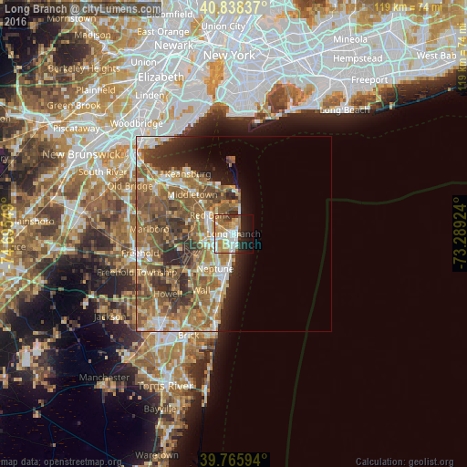
Analysis of Long Branch night lights 2016
Square area 10x10 km:
 12.76%
90-99
11.22%80-89
8.67%70-79
12.41%60-69
9.52%50-59
4.25%40-49
2.38%30-39
4.76%20-29
10.2%10-19
15.82%0-9
7.99%Square area 50x50 km:
3.29%90-99
4.26%80-89
4.01%70-79
4.9%60-69
7.63%50-59
8.67%40-49
4.4%30-39
4.3%20-29
5.3%10-19
4.36%0-9
48.89%Clear (daylight) street map image can be seen on geolist.org.
Map coordinates:
40° 50' 18.1" North, 74° 41' 43.8" West
40° 18' 15.4" North, 73° 59' 32.5" West
39° 45' 57.4" North, 73° 17' 21.3" West
Some cities around Long Branch sort by population:
• Tinton Falls
9.2 km =5.7 mi,  270°
270°
• Eatontown
5.1 km =3.2 mi,  259°
259°
• Red Bank
7.7 km =4.8 mi,  307°
307°
• West Long Branch
2.6 km =1.6 mi,  234°
234°
• Rumson
7.6 km =4.7 mi,  355°
355°
• Fair Haven
7.4 km =4.6 mi,  328°
328°
• Little Silver
5.9 km =3.7 mi, 307°
• Oceanport
2.5 km =1.6 mi, 308°
5100619 (p: 30,941)
Sources (retrieved 2019-11-25):
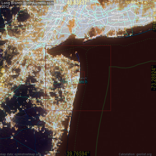
» Earth at Night: Flat Maps 2012, 2016