Rothschild night lights from space
Night Light of Rothschild (Wisconsin) from space (United States) Src. Average luminocity for 10x10km area is 40.5302% and for 50x50km: 5.4868%.
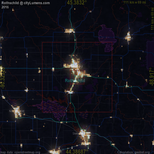
Analysis of Rothschild night lights 2016
Square area 10x10 km:
 4.76%
4.76%90-99
6.67%80-89
5.24%70-79
4.76%60-69
4.44%50-59
3.17%40-49
8.57%30-39
14.6%20-29
15.08%10-19
26.67%0-9
6.03%Square area 50x50 km:
0.67%90-99
0.74%80-89
0.77%70-79
0.52%60-69
0.66%50-59
0.67%40-49
0.97%30-39
1.16%20-29
1.67%10-19
4%0-9
88.18%Clear (daylight) street map image can be seen on geolist.org.
Map coordinates:
45° 22' 59.5" North, 90° 19' 23.7" West
44° 53' 13.9" North, 89° 37' 12.4" West
44° 23' 12.7" North, 88° 55' 1.2" West
Some cities around Rothschild sort by population:
• Wausau
8 km =5 mi,  354°
354°
• Stevens Point
40.6 km =25.2 mi,  174°
174°
• Weston
5.7 km =3.5 mi,  85°
85°
• Plover
48.3 km =30 mi, 172°
• Merrill
33 km =20.5 mi, 351°
• Antigo
46.3 km =28.8 mi,  52°
52°
• Kronenwetter
7.6 km =4.7 mi,  162°
162°
• Rib Mountain
5.2 km =3.2 mi,  303°
303°
5269583 (p: 5,329)
Sources (retrieved 2019-11-25):
» Earth at Night: Flat Maps 2012, 2016