River Forest night lights from space
Night Light of River Forest (Illinois) from space (United States) Src. Average luminocity for 10x10km area is 99.5698% and for 50x50km: 81.0554%.
Analysis of River Forest night lights 2016
Square area 10x10 km:
 77.62%
90-99
22.38%80-89
0%70-79
0%60-69
0%50-59
0%40-49
0%30-39
0%20-29
0%10-19
0%0-9
0%Square area 50x50 km:
43.89%90-99
20.39%80-89
9.67%70-79
5.95%60-69
2.48%50-59
1.91%40-49
1.77%30-39
1.42%20-29
1.5%10-19
2.09%0-9
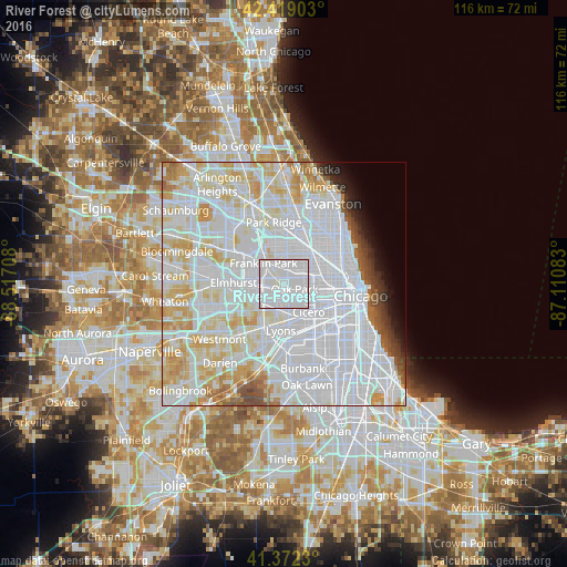
8.92%Clear (daylight) street map image can be seen on geolist.org.
Map coordinates:
42° 25' 8.5" North, 88° 31' 1.5" West
41° 53' 52.1" North, 87° 48' 50.2" West
41° 22' 20.3" North, 87° 6' 39" West
Some cities around River Forest sort by population:
• Belmont Cragin
5.3 km =3.3 mi,  44°
44°
• Berwyn
5.5 km =3.4 mi,  162°
162°
• Oak Park
2.8 km =1.7 mi,  120°
120°
• Melrose Park
3.6 km =2.2 mi,  274°
274°
• Elmwood Park
2.6 km =1.6 mi,  8°
8°
• Maywood
3.2 km =2 mi,  229°
229°
• Forest Park
2 km =1.2 mi,  179°
179°
• Broadview
5 km =3.1 mi,  220°
220°
4907637 (p: 11,199)
Sources (retrieved 2019-11-25):
» Earth at Night: Flat Maps 2012, 2016