Queensbury night lights from space
Night Light of Queensbury (New York) from space (United States) Src. Average luminocity for 10x10km area is 10.4683% and for 50x50km: 3.9886%.
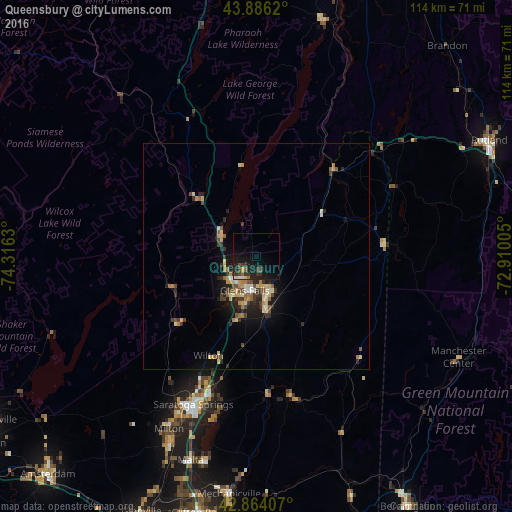
Analysis of Queensbury night lights 2016
Square area 10x10 km:
 0.48%
0.48%90-99
0.32%80-89
0.95%70-79
0.32%60-69
1.27%50-59
0.79%40-49
2.38%30-39
4.13%20-29
3.49%10-19
17.94%0-9
67.94%Square area 50x50 km:
0.18%90-99
0.4%80-89
0.8%70-79
0.54%60-69
0.49%50-59
0.59%40-49
0.64%30-39
0.88%20-29
1.12%10-19
2.68%0-9
91.66%Clear (daylight) street map image can be seen on geolist.org.
Map coordinates:
43° 53' 10.3" North, 74° 18' 58.7" West
43° 22' 38.2" North, 73° 36' 47.4" West
42° 51' 50.7" North, 72° 54' 36.2" West
Some cities around Queensbury sort by population:
• Saratoga Springs
35.5 km =22.1 mi,  203°
203°
• Glens Falls
7.9 km =4.9 mi, 198°
• Glens Falls North
7.3 km =4.5 mi,  230°
230°
• Hudson Falls
8.8 km =5.5 mi,  165°
165°
• West Glens Falls
10.3 km =6.4 mi,  213°
213°
• Ballston Spa
46 km =28.6 mi, 204°
• Mechanicville
53.1 km =33 mi,  186°
186°
• Northumberland
27.9 km =17.3 mi,  175°
175°
5133279 (p: 27,703)
Sources (retrieved 2019-11-25):
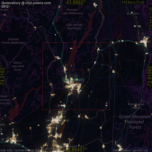
» Earth at Night: Flat Maps 2012, 2016