Glens Falls night lights from space
Night Light of Glens Falls (New York) from space (United States) Src. Average luminocity for 10x10km area is 47.4439% and for 50x50km: 5.1695%.
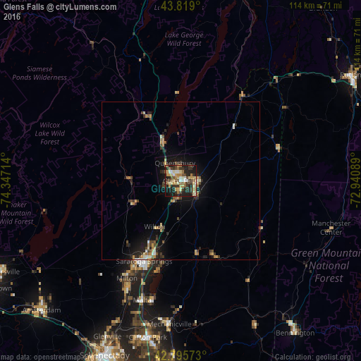
Analysis of Glens Falls night lights 2016
Square area 10x10 km:
 4.09%
4.09%90-99
6.52%80-89
11.36%70-79
6.36%60-69
8.03%50-59
6.21%40-49
7.27%30-39
11.36%20-29
15.15%10-19
22.12%0-9
1.52%Square area 50x50 km:
0.29%90-99
0.58%80-89
0.91%70-79
0.71%60-69
0.59%50-59
0.68%40-49
0.84%30-39
1.1%20-29
1.67%10-19
4%0-9
88.63%Clear (daylight) street map image can be seen on geolist.org.
Map coordinates:
43° 49' 8.4" North, 74° 20' 49.7" West
43° 18' 34.3" North, 73° 38' 38.4" West
42° 47' 44.6" North, 72° 56' 27.2" West
Some cities around Glens Falls sort by population:
• Saratoga Springs
27.6 km =17.1 mi,  204°
204°
• Queensbury
7.9 km =4.9 mi,  18°
18°
• Hudson Falls
4.8 km =3 mi,  101°
101°
• West Glens Falls
3.4 km =2.1 mi,  252°
252°
• East Glenville
51.6 km =32.1 mi,  206°
206°
• Ballston Spa
38.1 km =23.7 mi, 205°
• Mechanicville
45.4 km =28.2 mi,  184°
184°
• Northumberland
20.8 km =12.9 mi,  167°
167°
5118693 (p: 14,291)
Sources (retrieved 2019-11-25):
» Earth at Night: Flat Maps 2012, 2016