North Royalton night lights from space
Night Light of North Royalton (Ohio) from space (United States) Src. Average luminocity for 10x10km area is 65.3214% and for 50x50km: 61.1536%.
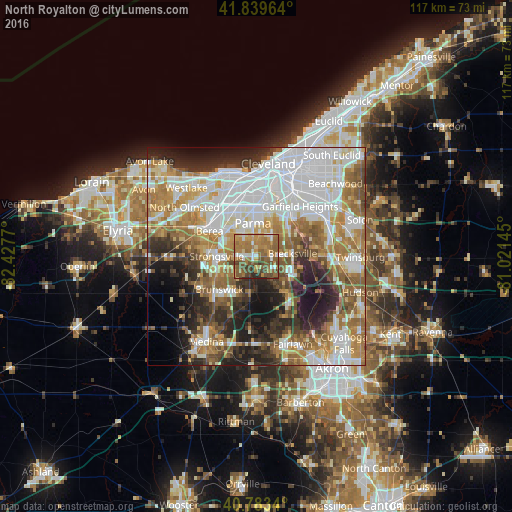
Analysis of North Royalton night lights 2016
Square area 10x10 km:
 5.27%
5.27%90-99
8.16%80-89
5.44%70-79
13.95%60-69
29.76%50-59
19.22%40-49
12.59%30-39
3.91%20-29
1.7%10-19
0%0-9
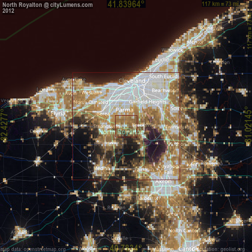
0%Square area 50x50 km:
18.6%90-99
12.78%80-89
5.53%70-79
7.26%60-69
11.4%50-59
7.97%40-49
5.81%30-39
5.64%20-29
9.62%10-19
9.17%0-9
6.21%Clear (daylight) street map image can be seen on geolist.org.
Map coordinates:
41° 50' 22.7" North, 82° 25' 39.7" West
41° 18' 49.2" North, 81° 43' 28.5" West
40° 47' 0.2" North, 81° 1' 17.2" West
Some cities around North Royalton sort by population:
• Parma
10.1 km =6.3 mi,  0°
0°
• Strongsville
9.3 km =5.8 mi,  270°
270°
• Parma Heights
9 km =5.6 mi,  341°
341°
• Broadview Heights
3.3 km =2.1 mi,  89°
89°
• Middleburg Heights
9.1 km =5.7 mi,  305°
305°
• Brecksville
8.2 km =5.1 mi, 85°
• Seven Hills
9.9 km =6.2 mi,  23°
23°
• Independence
9.5 km =5.9 mi,  49°
49°
5164916 (p: 30,311)
Sources (retrieved 2019-11-25):
» Earth at Night: Flat Maps 2012, 2016