North Augusta night lights from space
Night Light of North Augusta (South Carolina) from space (United States) Src. Average luminocity for 10x10km area is 86.0092% and for 50x50km: 42.4144%.
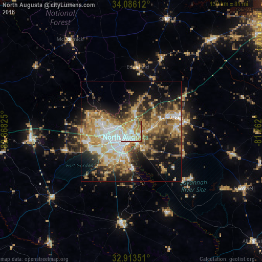
Analysis of North Augusta night lights 2016
Square area 10x10 km:
 26.19%
90-99
23.08%80-89
17.77%70-79
17.22%60-69
10.99%50-59
2.38%40-49
2.38%30-39
0%20-29
0%10-19
0%0-9
0%Square area 50x50 km:
6.89%90-99
6.94%80-89
7.04%70-79
8.38%60-69
7.69%50-59
4.69%40-49
5.5%30-39
5.99%20-29
8.04%10-19
13.03%0-9
25.79%Clear (daylight) street map image can be seen on geolist.org.
Map coordinates:
34° 5' 10" North, 82° 40' 5.7" West
33° 30' 6.5" North, 81° 57' 54.4" West
32° 54' 48.6" North, 81° 15' 43.2" West
Some cities around North Augusta sort by population:
• Augusta
3.5 km =2.2 mi,  194°
194°
• Martinez
10.4 km =6.5 mi,  279°
279°
• Aiken
23.7 km =14.7 mi,  74°
74°
• Evans
15.8 km =9.8 mi, 283°
• Grovetown
22.4 km =13.9 mi,  255°
255°
• Thomson
50.1 km =31.1 mi,  266°
266°
• Belvedere
3.7 km =2.3 mi,  30°
30°
• Waynesboro
46 km =28.6 mi, 185°
4589368 (p: 22,522)
Sources (retrieved 2019-11-25):
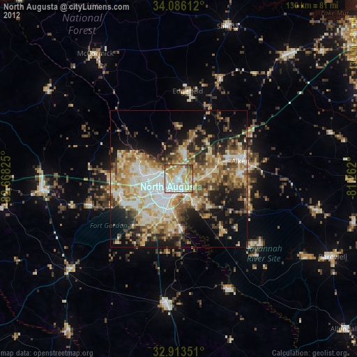
» Earth at Night: Flat Maps 2012, 2016