Martinez night lights from space
Night Light of Martinez (Georgia) from space (United States) Src. Average luminocity for 10x10km area is 91.315% and for 50x50km: 37.7286%.
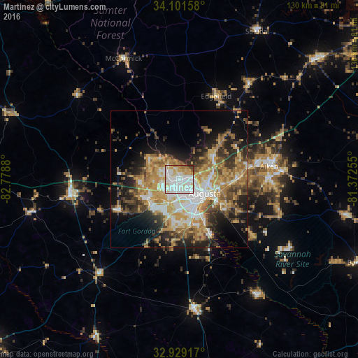
Analysis of Martinez night lights 2016
Square area 10x10 km:
 35.71%
90-99
36.26%80-89
11.9%70-79
7.14%60-69
4.76%50-59
1.65%40-49
1.47%30-39
1.1%20-29
0%10-19
0%0-9
0%Square area 50x50 km:
6.3%90-99
6.35%80-89
6.28%70-79
7.51%60-69
6.44%50-59
3.8%40-49
4.89%30-39
5.31%20-29
7.6%10-19
10.65%0-9
34.87%Clear (daylight) street map image can be seen on geolist.org.
Map coordinates:
34° 6' 5.7" North, 82° 46' 43.7" West
33° 31' 2.5" North, 82° 4' 32.4" West
32° 55' 45" North, 81° 22' 21.2" West
Some cities around Martinez sort by population:
• Augusta
10.7 km =6.6 mi,  118°
118°
• Aiken
33.3 km =20.7 mi,  81°
81°
• Evans
5.4 km =3.4 mi,  289°
289°
• North Augusta
10.4 km =6.5 mi,  99°
99°
• Grovetown
13.6 km =8.5 mi,  236°
236°
• Thomson
40.1 km =24.9 mi,  262°
262°
• Belvedere
12.2 km =7.6 mi, 82°
• Waynesboro
47.9 km =29.8 mi,  173°
173°
4207981 (p: 35,795)
Sources (retrieved 2019-11-25):
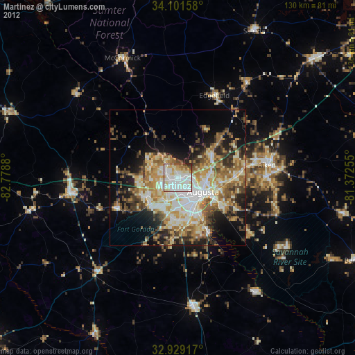
» Earth at Night: Flat Maps 2012, 2016