Hilton Head Island night lights from space
Night Light of Hilton Head Island (South Carolina) from space (United States) Src. Average luminocity for 10x10km area is 47.0944% and for 50x50km: 12.4055%.
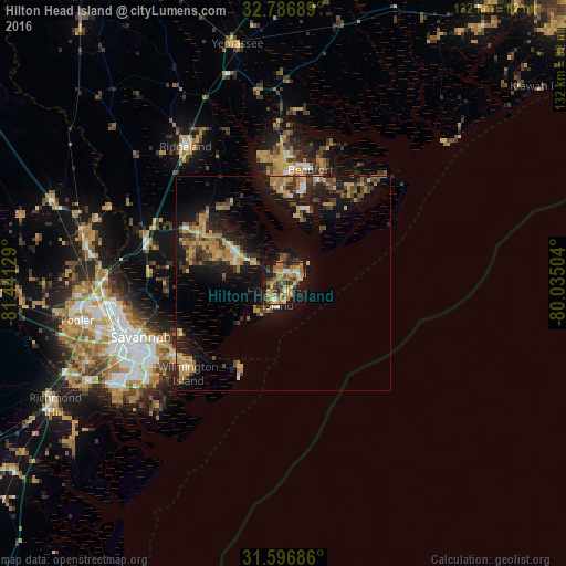
Analysis of Hilton Head Island night lights 2016
Square area 10x10 km:
 1.4%
1.4%90-99
5.77%80-89
5.59%70-79
10.31%60-69
19.23%50-59
5.77%40-49
8.57%30-39
8.04%20-29
7.69%10-19
25.7%0-9
1.92%Square area 50x50 km:
0.35%90-99
0.88%80-89
1.69%70-79
2.77%60-69
3%50-59
1.06%40-49
2.23%30-39
2.62%20-29
3.15%10-19
11.37%0-9
70.88%Clear (daylight) street map image can be seen on geolist.org.
Map coordinates:
32° 47' 12.8" North, 81° 26' 28.6" West
32° 11' 37.8" North, 80° 44' 17.4" West
31° 35' 48.7" North, 80° 2' 6.1" West
Some cities around Hilton Head Island sort by population:
• Bluffton
12.5 km =7.8 mi,  292°
292°
• Wilmington Island
30.7 km =19.1 mi,  226°
226°
• Beaufort
27.2 km =16.9 mi,  13°
13°
• Port Royal
21 km =13 mi, 11°
• Burton
26.9 km =16.7 mi,  2°
2°
• Whitemarsh Island
32 km =19.9 mi,  235°
235°
• Laurel Bay
28.8 km =17.9 mi,  351°
351°
• Hardeeville
33.8 km =21 mi, 287°
4581832 (p: 40,512)
Sources (retrieved 2019-11-25):
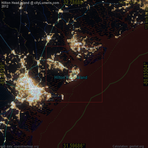
» Earth at Night: Flat Maps 2012, 2016