Clermont night lights from space
Night Light of Clermont (Florida) from space (United States) Src. Average luminocity for 10x10km area is 59.767% and for 50x50km: 31.9441%.
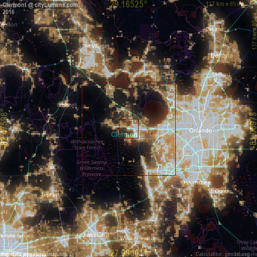
Analysis of Clermont night lights 2016
Square area 10x10 km:
 9.28%
9.28%90-99
10.8%80-89
4.92%70-79
10.98%60-69
19.13%50-59
6.25%40-49
7.95%30-39
12.69%20-29
11.74%10-19
6.06%0-9
0.19%Square area 50x50 km:
5.03%90-99
5.55%80-89
2.94%70-79
5.17%60-69
8.81%50-59
3.71%40-49
3.65%30-39
4.77%20-29
7%10-19
13.17%0-9
40.19%Clear (daylight) street map image can be seen on geolist.org.
Map coordinates:
29° 9' 54.9" North, 82° 28' 33.5" West
28° 32' 58" North, 81° 46' 22.3" West
27° 55' 48" North, 81° 4' 11" West
Some cities around Clermont sort by population:
• Ocoee
22.5 km =14 mi,  84°
84°
• Winter Garden
18.3 km =11.4 mi, 84°
• Four Corners
27 km =16.8 mi,  153°
153°
• Lake Butler
23.3 km =14.5 mi,  103°
103°
• Horizon West
19.5 km =12.1 mi,  131°
131°
• Groveland
7.7 km =4.8 mi,  277°
277°
• Minneola
3.8 km =2.4 mi,  43°
43°
• Mascotte
11.6 km =7.2 mi,  286°
286°
4151352 (p: 32,390)
Sources (retrieved 2019-11-25):
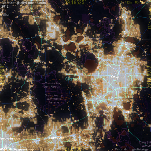
» Earth at Night: Flat Maps 2012, 2016